Login

Забыл пароль?

Cookies have to be accepted!
Your browser's cookie functionality is disabled. Please enable this functionality.

Not a member yet?

Register now
Login

Available for registred users only

Log in to use this feature.

Забыл пароль?

Cookies have to be accepted!
Your browser's cookie functionality is disabled. Please enable this functionality.

Not a member yet?

Register now
Filter
Категории
Advanced filters
  • Длина (км)
  • Высотомер
Сохранить фильтр Reset filter

TrackRank

QRCode

Technical data

Длина68,1 km Высотомер2307 m Way down1715 m Длительность07:00 h:m Дата30.01.2011
Оценки Author Ландшафт Веселье Кондиция Техника

Статистика

1070 Виды Оценки 124 Загрузки Среднее
Rate
  • Формуляр маршрута
  • Дорога
  • Загрузки

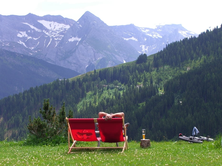
Zweiter Tag des Alpencross von Mittenwald zum Gardasee.

  • Jenbach
  • Schwaz
  • Weerberg
  • Geiseljoch
  • Finkenberg
  • Breitlahner Hütte

Галерея маршрутов

Карта маршрута и высотный профиль

  • Open Street Map
  • Google
Minimum height 551 m Maximum height 2288 m Детальный вид

More about the tour author

frankwacker
Member since 2008

Send private message

Комментарии

Jenbach liegt direkt am Inn mit Autobahnanbindung. Zahlreiche Hotels sind vorhanden.

GPS-Tracks

Trackpoints
  • GPX / Garmin Map Source (gpx) download
  • TCX / Garmin Training Center® (tcx) download
  • CRS / Garmin Training Center® (crs) download
  • Google Earth (kml) download
  • G7ToWin (g7t) download
  • TTQV (trk) download
  • Overlay (ovl) download
  • Fugawi (txt) download
  • Kompass (DAV) Track (tk) download
  • Формуляр маршрута (pdf) download
  • Original file of the author (gpx) download

More about the tour author

frankwacker
Member since 2008

Send private message
Share track
Add to my favorites
Remove from my favorites
Edit tags
My score
Rate
Маршрут: Zillertaler Alpen
Вид: Горный велосипед
Длина: 68,1 km
Evaluated on:
Длительность:
Day(s)
Hour(s)
Minute(s)
Оценка: Ландшафт Веселье Кондиция Техника