
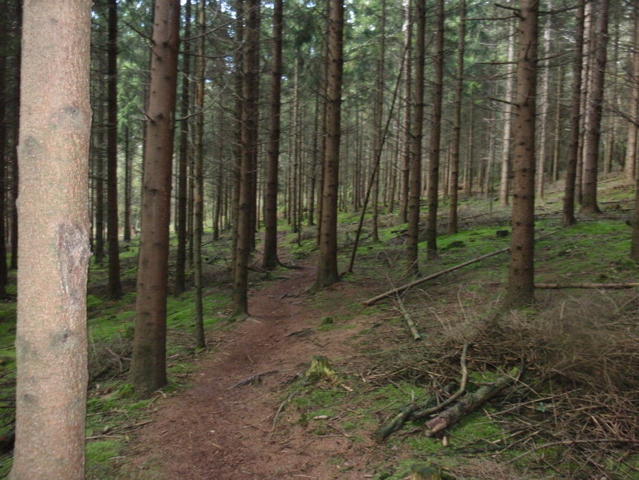

Deze tocht start in de Commandeurstraat te Mechelen,waarna we links af slaan bergop richting elzetterbos.
daar gaan we door naar het vijlenerbos richting grensovergang de Wolfhaag,waar we weg oversteken nar het 3 landenpunt,vandaar verloopt de tocht over mooie paden en singletrails door de aachenerwald.
Waarna we weer terug komen op het 3 landenpunt en via vijlenerbos naar mechelen.
Blauwe waypoints heenweg Rode waypoint de terug weg.
Галерея маршрутов


Карта маршрута и высотный профиль
Minimum height 85 m
Maximum height 334 m
More about the tour author
|
|
BertAusten |
Комментарии

Commandeurstraat 6281 AM Mechelen (NL)
GPS-Tracks
Trackpoints-
GPX / Garmin Map Source (gpx) download
-
TCX / Garmin Training Center® (tcx) download
-
CRS / Garmin Training Center® (crs) download
-
Google Earth (kml) download
-
G7ToWin (g7t) download
-
TTQV (trk) download
-
Overlay (ovl) download
-
Fugawi (txt) download
-
Kompass (DAV) Track (tk) download
-
Формуляр маршрута (pdf) download
-
Original file of the author (gpx) download
More about the tour author
|
|
BertAusten |
Add to my favorites
Remove from my favorites
Edit tags
Open track
My score
Rate