Login

Забыл пароль?

Cookies have to be accepted!
Your browser's cookie functionality is disabled. Please enable this functionality.

Not a member yet?

Register now
Login

Available for registred users only

Log in to use this feature.

Забыл пароль?

Cookies have to be accepted!
Your browser's cookie functionality is disabled. Please enable this functionality.

Not a member yet?

Register now
Filter
Категории
Advanced filters
  • Длина (км)
  • Высотомер
Сохранить фильтр Reset filter

TrackRank

QRCode

Technical data

Длина10,3 km Высотомер0 m Way down0 m Длительность01:25 h:m Дата12.02.2011
Оценки Author Ландшафт Веселье Кондиция Техника

Статистика

406 Виды Оценки 13 Загрузки Среднее
Rate
  • Формуляр маршрута
  • Дорога
  • Загрузки

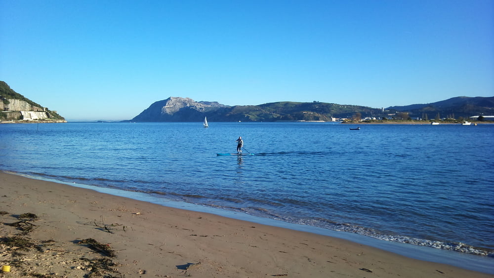
Salida desde el club de remo de Santoña, encaramos la entrada de la bahía y seguimos bordeando el monte buciero hasta la peña del fraile.

Vuelta por el mismo camino

Галерея маршрутов

Карта маршрута и высотный профиль

  • Open Street Map
  • Google
Minimum height 99999 m Maximum height -99999 m Детальный вид

More about the tour author

eddiemetal
Member since 2010

Send private message

Комментарии

GPS-Tracks

Trackpoints
  • GPX / Garmin Map Source (gpx) download
  • TCX / Garmin Training Center® (tcx) download
  • CRS / Garmin Training Center® (crs) download
  • Google Earth (kml) download
  • G7ToWin (g7t) download
  • TTQV (trk) download
  • Overlay (ovl) download
  • Fugawi (txt) download
  • Kompass (DAV) Track (tk) download
  • Формуляр маршрута (pdf) download
  • Original file of the author (gpx) download

More about the tour author

eddiemetal
Member since 2010

Send private message
Share track
Add to my favorites
Remove from my favorites
Edit tags
My score
Rate
Маршрут: supping bahía de Santoña
Вид: Бот и каноэ
Длина: 10,3 km
Evaluated on:
Длительность:
Day(s)
Hour(s)
Minute(s)
Оценка: Ландшафт Веселье Кондиция Техника