


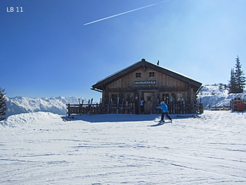
Der Winterwanderweg auf die Hochwurzenhütte beginnt beim Alpengasthof Winterer bzw. Talstation des Sessellifts Fun-Jet auf 1.260m (Planai Bahnen). Der Fun-Jet endet übrigens auch direkt bei der Hochwurzenhütte. Bei der Talstation befindet sich ein großer Parkplatz. Auf den ersten 200 Metern muss man noch auf die Schlittenfahrer achtgeben, denn die Rodelbahn von der Hochwurzen endet entweder bei diesem Sessellift oder bei der Talstation der Gondelbahn in Rohrmoos-Untertal. Mehr Infos, Fotos und Video findest du auf biketours4you.at
The winter hiking trail on the hut Hochwurzenhütte near Schladming begins at the inn Winterer and the parking lot at the chair lift base station Fun-Jet on 1.260m in Rohrmoos-Untertal. The Fun-Jet ends as the winter hiking trail also directly at the hut Hochwurzenhütte. The first 200 meters, one must still be careful on the sleds. The toboggan run from Hochwurzen end either at this chairlift or at the station of the gondola in Rohrmoos-Untertal. More infos, photos and video you'll see on biketours4you.at
Галерея маршрутов
Карта маршрута и высотный профиль
Minimum height 1190 m
Maximum height 1849 m
More about the tour author
|
|
Trek1400d |
Комментарии

GPS-Tracks
Trackpoints-
GPX / Garmin Map Source (gpx) download
-
TCX / Garmin Training Center® (tcx) download
-
CRS / Garmin Training Center® (crs) download
-
Google Earth (kml) download
-
G7ToWin (g7t) download
-
TTQV (trk) download
-
Overlay (ovl) download
-
Fugawi (txt) download
-
Kompass (DAV) Track (tk) download
-
Формуляр маршрута (pdf) download
-
Original file of the author (gpx) download
More about the tour author
|
|
Trek1400d |
Add to my favorites
Remove from my favorites
Edit tags
Open track
My score
Rate