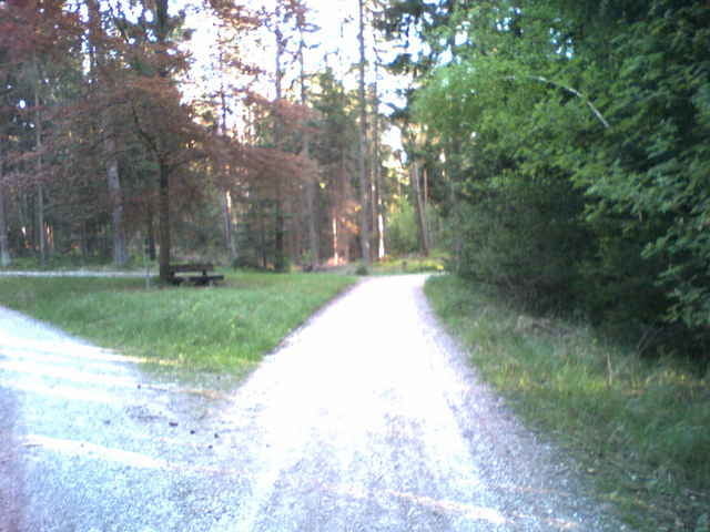
Schnelle einfache Tour, abseits der Straße, von Röthenbach nach Schwarzenbruck ist auch gut mit einem Fahrradanhänger zu machen.
Hat allerdings den Nachteil, dass alles Schotterpisten sind und dementsprechend staubig.
Hat allerdings den Nachteil, dass alles Schotterpisten sind und dementsprechend staubig.
Галерея маршрутов
Карта маршрута и высотный профиль
Minimum height 332 m
Maximum height 429 m
Комментарии

GPS-Tracks
Trackpoints-
GPX / Garmin Map Source (gpx) download
-
TCX / Garmin Training Center® (tcx) download
-
CRS / Garmin Training Center® (crs) download
-
Google Earth (kml) download
-
G7ToWin (g7t) download
-
TTQV (trk) download
-
Overlay (ovl) download
-
Fugawi (txt) download
-
Kompass (DAV) Track (tk) download
-
Формуляр маршрута (pdf) download
Add to my favorites
Remove from my favorites
Edit tags
Open track
My score
Rate


