Login

Забыл пароль?

Cookies have to be accepted!
Your browser's cookie functionality is disabled. Please enable this functionality.

Not a member yet?

Register now
Login

Available for registred users only

Log in to use this feature.

Забыл пароль?

Cookies have to be accepted!
Your browser's cookie functionality is disabled. Please enable this functionality.

Not a member yet?

Register now
Filter
Категории
Advanced filters
  • Длина (км)
  • Высотомер
Сохранить фильтр Reset filter

TrackRank

QRCode

Technical data

Длина78,7 km Высотомер1209 m Way down1271 m Длительность07:00 h:m Дата16.04.2011
Оценки Author User Ландшафт Веселье Кондиция Техника

Статистика

819 Виды 2 Оценки 130 Загрузки 4.50 Среднее
Rate
  • Формуляр маршрута
  • Дорога
  • Загрузки

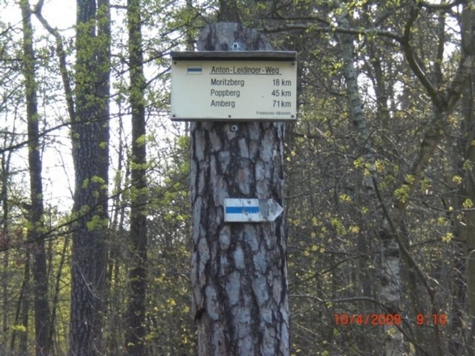
Schöner Weg von Amberg nach Nürnberg.

Hoher Anteil an Singletrails. Bis Alfeld relativ entspannt, danach Konditionell etwas anspruchsvoller.

Super von Bahnhof zu Bahnhof. Unterwegs gibt es leckere Möglichkeiten zur Einkehr

Карта маршрута и высотный профиль

  • Open Street Map
  • Google
Minimum height 324 m Maximum height 655 m Детальный вид

More about the tour author

julystern
Member since 2010

Send private message

Комментарии

Vom Amberger Bahnhof nach Nürnberg

GPS-Tracks

Trackpoints
  • GPX / Garmin Map Source (gpx) download
  • TCX / Garmin Training Center® (tcx) download
  • CRS / Garmin Training Center® (crs) download
  • Google Earth (kml) download
  • G7ToWin (g7t) download
  • TTQV (trk) download
  • Overlay (ovl) download
  • Fugawi (txt) download
  • Kompass (DAV) Track (tk) download
  • Формуляр маршрута (pdf) download
  • Original file of the author (tcx) download

More about the tour author

julystern
Member since 2010

Send private message
Share track
Add to my favorites
Remove from my favorites
Edit tags
My score
Rate
Маршрут: Amberg-Nürnberg auf dem Anton-Leidinger-Weg (Blaustrich)
Вид: Горный велосипед
Длина: 78,7 km
Evaluated on:
Длительность:
Day(s)
Hour(s)
Minute(s)
Оценка: Ландшафт Веселье Кондиция Техника