Login

Забыл пароль?

Cookies have to be accepted!
Your browser's cookie functionality is disabled. Please enable this functionality.

Not a member yet?

Register now
Login

Available for registred users only

Log in to use this feature.

Забыл пароль?

Cookies have to be accepted!
Your browser's cookie functionality is disabled. Please enable this functionality.

Not a member yet?

Register now
Filter
Категории
Advanced filters
  • Длина (км)
  • Высотомер
Сохранить фильтр Reset filter

TrackRank

QRCode

Technical data

Длина61,2 km Высотомер1248 m Way down1250 m Длительность00:00 h:m Дата20.04.2011
Оценки Author Ландшафт Веселье Кондиция Техника

Статистика

1063 Виды Оценки 130 Загрузки Среднее
Rate
  • Формуляр маршрута
  • Дорога
  • Загрузки

Geparkt habe ich mal wieder bei Lidl.

Tour führt gegen den Uhrzeigersinn.

gleich beim ersten Anstieg kommt eine Schiebepassage,fast die einzigste .

leider ist der Trailanteil dieser Tour nicht so hoch wie Anfangs erhofft

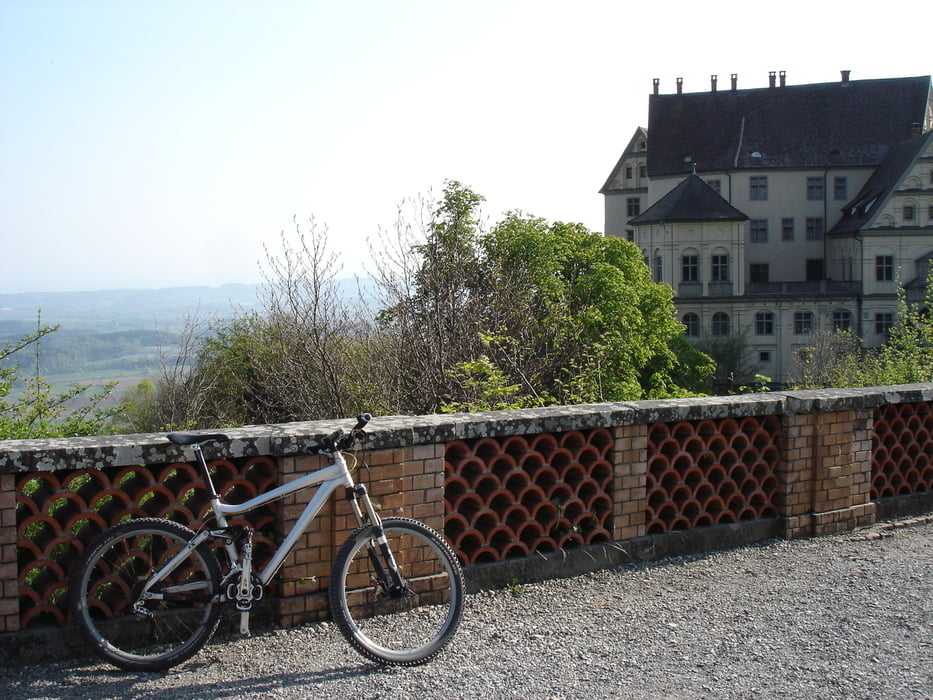
aber die schönen Aussichten machen es wieder wett.  

Карта маршрута и высотный профиль

  • Open Street Map
  • Google
Minimum height 418 m Maximum height 829 m Детальный вид

More about the tour author

Ganzjahresgriller
Member since 2009

Send private message

Комментарии

GPS-Tracks

Trackpoints
  • GPX / Garmin Map Source (gpx) download
  • TCX / Garmin Training Center® (tcx) download
  • CRS / Garmin Training Center® (crs) download
  • Google Earth (kml) download
  • G7ToWin (g7t) download
  • TTQV (trk) download
  • Overlay (ovl) download
  • Fugawi (txt) download
  • Kompass (DAV) Track (tk) download
  • Формуляр маршрута (pdf) download
  • Original file of the author (gpx) download

More about the tour author

Ganzjahresgriller
Member since 2009

Send private message
Share track
Add to my favorites
Remove from my favorites
Edit tags
My score
Rate
Маршрут: Gehrenberg-Höchsten-Heiligenberg
Вид: Горный велосипед
Длина: 61,2 km
Evaluated on:
Длительность:
Day(s)
Hour(s)
Minute(s)
Оценка: Ландшафт Веселье Кондиция Техника