Login

Забыл пароль?

Cookies have to be accepted!
Your browser's cookie functionality is disabled. Please enable this functionality.

Not a member yet?

Register now
Login

Available for registred users only

Log in to use this feature.

Забыл пароль?

Cookies have to be accepted!
Your browser's cookie functionality is disabled. Please enable this functionality.

Not a member yet?

Register now
Filter
Категории
Advanced filters
  • Длина (км)
  • Высотомер
Сохранить фильтр Reset filter

TrackRank

QRCode

Technical data

Длина6,8 km Высотомер139 m Way down133 m Длительность01:31 h:m Дата23.04.2011
Оценки Author Ландшафт Веселье Кондиция Техника

Статистика

684 Виды Оценки 68 Загрузки Среднее
Rate
  • Формуляр маршрута
  • Дорога
  • Загрузки
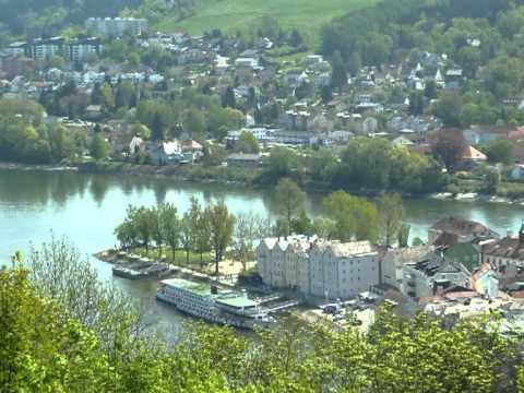
Passau-Rathaus - Veste Oberhaus - runter ins Ilztal - Hals - zurück nack Passau Rathaus

Галерея маршрутов

Карта маршрута и высотный профиль

  • Open Street Map
  • Google
Minimum height 294 m Maximum height 413 m Детальный вид

More about the tour author

rail-com

Комментарии

ÖBB 

bis Passau Hbf. - dann weiter zu Fuss oder Stadtbus nach Passau/Rathaus

GPS-Tracks

Trackpoints
  • GPX / Garmin Map Source (gpx) download
  • TCX / Garmin Training Center® (tcx) download
  • CRS / Garmin Training Center® (crs) download
  • Google Earth (kml) download
  • G7ToWin (g7t) download
  • TTQV (trk) download
  • Overlay (ovl) download
  • Fugawi (txt) download
  • Kompass (DAV) Track (tk) download
  • Формуляр маршрута (pdf) download
  • Original file of the author (gpx) download

More about the tour author

rail-com

Share track
Add to my favorites
Remove from my favorites
Edit tags
My score
Rate
Маршрут: Donausteig: Donaurunden - Stadtwanderweg Passau
Вид: Пешеходный туризм
Длина: 6,8 km
Evaluated on:
Длительность:
Day(s)
Hour(s)
Minute(s)
Оценка: Ландшафт Веселье Кондиция Техника