Login

Забыл пароль?

Cookies have to be accepted!
Your browser's cookie functionality is disabled. Please enable this functionality.

Not a member yet?

Register now
Login

Available for registred users only

Log in to use this feature.

Забыл пароль?

Cookies have to be accepted!
Your browser's cookie functionality is disabled. Please enable this functionality.

Not a member yet?

Register now
Filter
Категории
Advanced filters
  • Длина (км)
  • Высотомер
Сохранить фильтр Reset filter

TrackRank

QRCode

Technical data

Длина25,4 km Высотомер784 m Way down758 m Длительность01:30 h:m Дата25.04.2011
Оценки Author Ландшафт Веселье Кондиция Техника

Статистика

467 Виды Оценки 102 Загрузки Среднее
Rate
  • Формуляр маршрута
  • Дорога
  • Загрузки
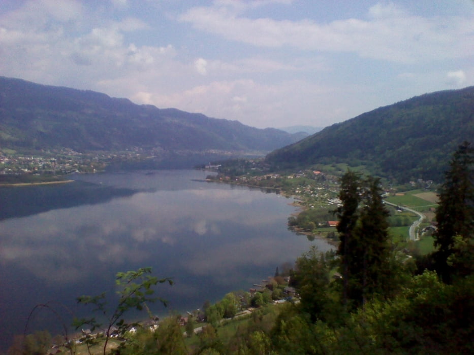
Von Villach St. Leonhard Richtung St. Michael ca. 1km nach dem Gasthof Latritsch geht es auf den Ossiacher Tauern. Eine gut zu fahrende Forststrasse die an der Nordseite in Richtung Ossiach führt, wo dann bei Ostriach wieder zum Radweg kommt.

Карта маршрута и высотный профиль

  • Open Street Map
  • Google
Minimum height 339 m Maximum height 865 m Детальный вид

More about the tour author

deralex
Member since 2008

Send private message

Комментарии

GPS-Tracks

Trackpoints
  • GPX / Garmin Map Source (gpx) download
  • TCX / Garmin Training Center® (tcx) download
  • CRS / Garmin Training Center® (crs) download
  • Google Earth (kml) download
  • G7ToWin (g7t) download
  • TTQV (trk) download
  • Overlay (ovl) download
  • Fugawi (txt) download
  • Kompass (DAV) Track (tk) download
  • Формуляр маршрута (pdf) download
  • Original file of the author (gpx) download

More about the tour author

deralex
Member since 2008

Send private message
Share track
Add to my favorites
Remove from my favorites
Edit tags
My score
Rate
Маршрут: Villach - St Michael - Ossiacher Tauern - Ossiach - Villach
Вид: Горный велосипед
Длина: 25,4 km
Evaluated on:
Длительность:
Day(s)
Hour(s)
Minute(s)
Оценка: Ландшафт Веселье Кондиция Техника