


Abwechslungsreiche Rundwanderung mit zahlreichen Aussichtspunkten und Sehenswürdigkeiten.
- Gerolstein
- Kylltal
- Munterley
- Buchenlochhöhle
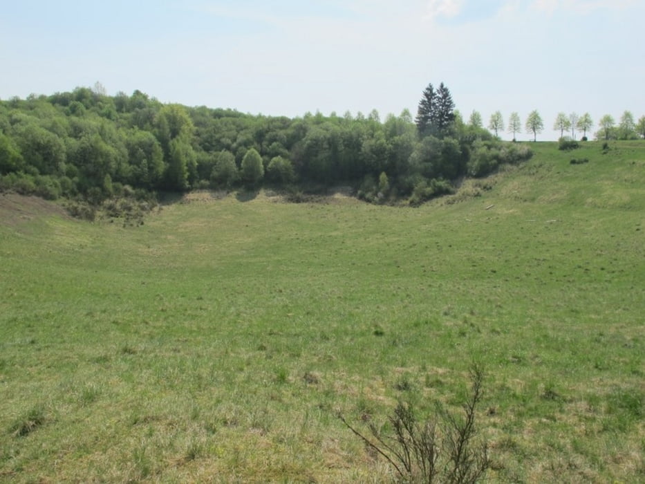
- Papenkaule (Vulkankrater)
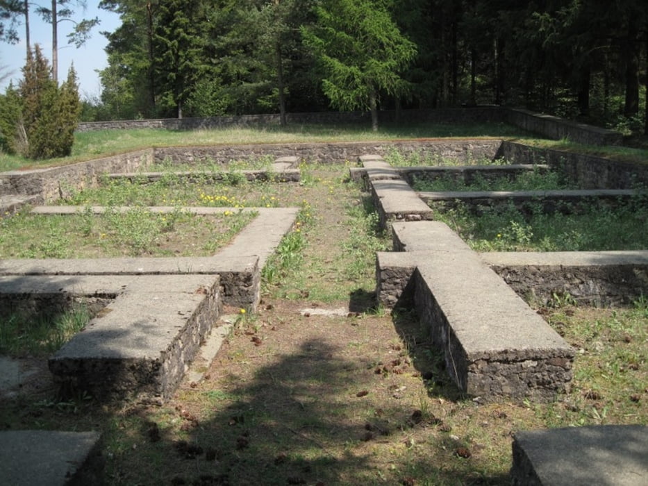
- Juddekirchof (keltisch-römische Kultstätte)
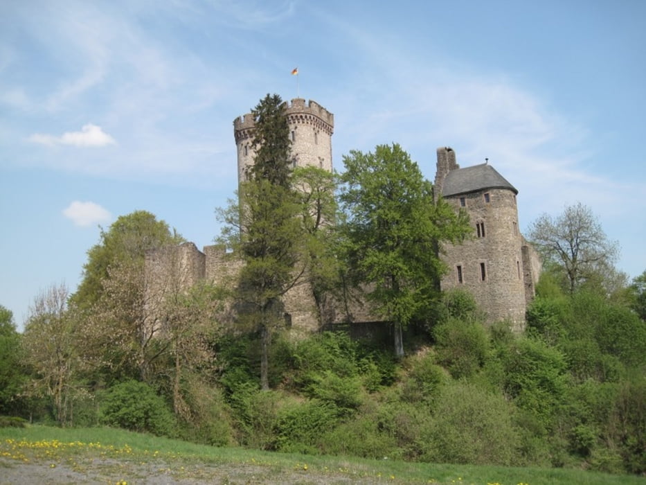
- Kasselburg
- Adler- und Wolfspark
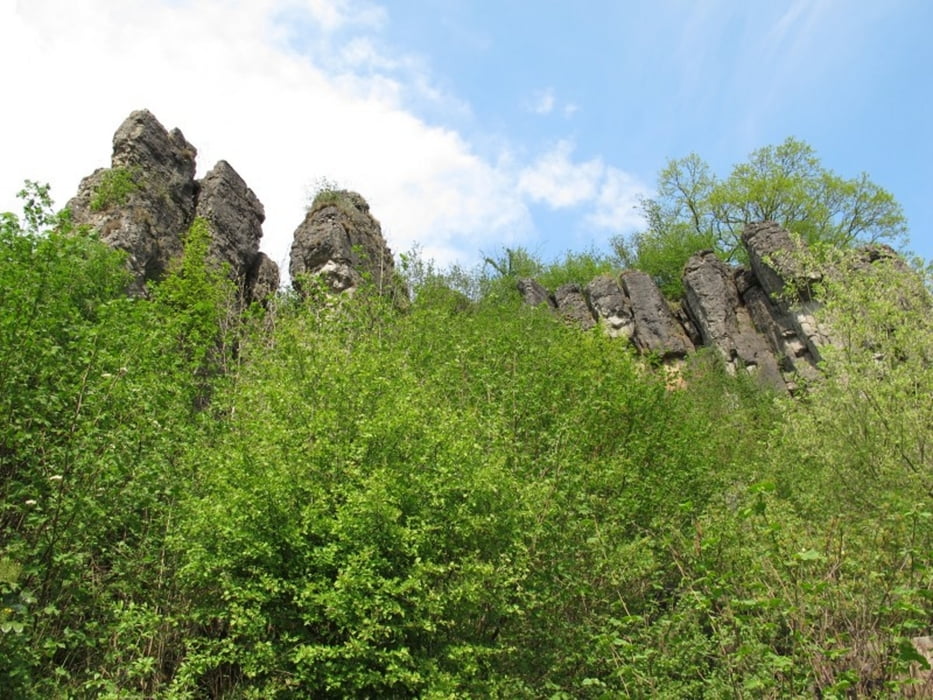
- Hustley (Kletterfelsen)
Die Tour entpricht weitgehend der Tour 36 aus dem Rother Wanderführer Eifel.
Further information at
http://www.rother.de/titpage/4223.phpГалерея маршрутов
Карта маршрута и высотный профиль
Minimum height 361 m
Maximum height 514 m
More about the tour author
|
|
MaillotBlanc |
Комментарии

Gerolstein, Parkplatz am Anfang der Straße "Unter den Dolomiten".
GPS-Tracks
Trackpoints-
GPX / Garmin Map Source (gpx) download
-
TCX / Garmin Training Center® (tcx) download
-
CRS / Garmin Training Center® (crs) download
-
Google Earth (kml) download
-
G7ToWin (g7t) download
-
TTQV (trk) download
-
Overlay (ovl) download
-
Fugawi (txt) download
-
Kompass (DAV) Track (tk) download
-
Формуляр маршрута (pdf) download
-
Original file of the author (gpx) download
More about the tour author
|
|
MaillotBlanc |
Add to my favorites
Remove from my favorites
Edit tags
Open track
My score
Rate