Login

Забыл пароль?

Cookies have to be accepted!
Your browser's cookie functionality is disabled. Please enable this functionality.

Not a member yet?

Register now
Login

Available for registred users only

Log in to use this feature.

Забыл пароль?

Cookies have to be accepted!
Your browser's cookie functionality is disabled. Please enable this functionality.

Not a member yet?

Register now
Filter
Категории
Advanced filters
  • Длина (км)
  • Высотомер
Сохранить фильтр Reset filter

TrackRank

QRCode

Technical data

Длина54,3 km Высотомер429 m Way down745 m Длительность02:30 h:m Дата08.05.2011
Оценки Author Ландшафт Веселье Кондиция Техника

Статистика

266 Виды Оценки 18 Загрузки Среднее
Rate
  • Формуляр маршрута
  • Дорога
  • Загрузки

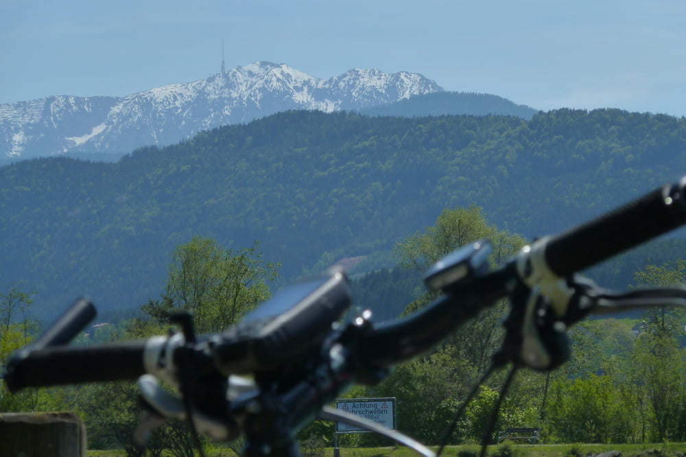
Start in Trebesing Richtung Spittal über alte Römerstraße, Fratres, durch Spittal auf den Radweg R1 zur Drau, der Drau entlang bis nach Villach ( 2x die Drau querend ).....

Sehr schöne Tour, viel Gegenwind.

Галерея маршрутов

Карта маршрута и высотный профиль

  • Open Street Map
  • Google
Minimum height 495 m Maximum height 842 m Детальный вид

More about the tour author

kateem
Member since 2010

Send private message

Комментарии

GPS-Tracks

Trackpoints
  • GPX / Garmin Map Source (gpx) download
  • TCX / Garmin Training Center® (tcx) download
  • CRS / Garmin Training Center® (crs) download
  • Google Earth (kml) download
  • G7ToWin (g7t) download
  • TTQV (trk) download
  • Overlay (ovl) download
  • Fugawi (txt) download
  • Kompass (DAV) Track (tk) download
  • Формуляр маршрута (pdf) download
  • Original file of the author (tcx) download

More about the tour author

kateem
Member since 2010

Send private message
Share track
Add to my favorites
Remove from my favorites
Edit tags
My score
Rate
Маршрут: Trebesing - Villach
Вид: Горный велосипед
Длина: 54,3 km
Evaluated on:
Длительность:
Day(s)
Hour(s)
Minute(s)
Оценка: Ландшафт Веселье Кондиция Техника