


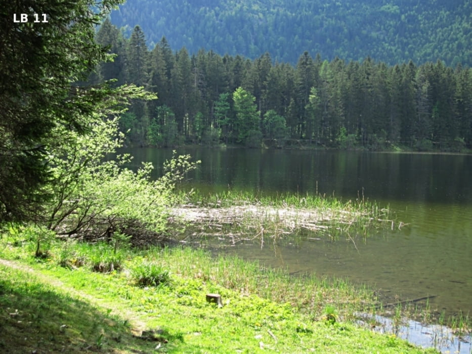
Der große Parkplatz beim Ödensee ist mit dem Auto von Pichl-Kainisch sehr gut erreichbar. Schon nach 100m erreicht man die bestens bewirtschaftete Kohlröserlhütte die direkt am Nordufer des Ödensee liegt. Ganz in der Nähe der Kohlröserhütte wurde für die Kinder ein kleiner Spielplatz und beim See ein kleiner Steg errichtet. Dort kann man z.B. sehr bequem ein Schlauchboot zu Wasser lassen und ein bisschen auf dem Ödensee entlang paddeln.
mehr Infos, Fotos und Video findetst du auf biketours4you.at
The large car park at Ödensee is very easy accessible by car from Pichl-Kainisch. After only 100m, you reach the best managed inn “Kohlröserlhütte” which is located at the northern shore of the lake Ödensee. Very close to the Kohlröserhütte was built for children, a small playground and a small pier at the lake. There you can for example very conveniently have a dinghy in the water and paddle a bit along on the Ödensee.
more infos, photos and video you'll find on biketours4you.at
Галерея маршрутов
Карта маршрута и высотный профиль
Minimum height 766 m
Maximum height 857 m
More about the tour author
|
|
Trek1400d |
Комментарии

GPS-Tracks
Trackpoints-
GPX / Garmin Map Source (gpx) download
-
TCX / Garmin Training Center® (tcx) download
-
CRS / Garmin Training Center® (crs) download
-
Google Earth (kml) download
-
G7ToWin (g7t) download
-
TTQV (trk) download
-
Overlay (ovl) download
-
Fugawi (txt) download
-
Kompass (DAV) Track (tk) download
-
Формуляр маршрута (pdf) download
-
Original file of the author (gpx) download
More about the tour author
|
|
Trek1400d |
Add to my favorites
Remove from my favorites
Edit tags
Open track
My score
Rate