Login

Забыл пароль?

Cookies have to be accepted!
Your browser's cookie functionality is disabled. Please enable this functionality.

Not a member yet?

Register now
Login

Available for registred users only

Log in to use this feature.

Забыл пароль?

Cookies have to be accepted!
Your browser's cookie functionality is disabled. Please enable this functionality.

Not a member yet?

Register now
Filter
Категории
Advanced filters
  • Длина (км)
  • Высотомер
Сохранить фильтр Reset filter

TrackRank

QRCode

Technical data

Длина31,3 km Высотомер612 m Way down619 m Длительность02:00 h:m Дата14.05.2011
Оценки Author Ландшафт Веселье Кондиция Техника

Статистика

385 Виды Оценки 38 Загрузки Среднее
Rate
  • Формуляр маршрута
  • Дорога
  • Загрузки
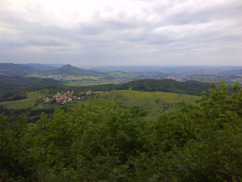
 Fahrt von Burladinen über Ringingen zum oberen Traufweg. Über diesen fahren wir zum Dreifürtenstein. Immer wieder haben wir einen tollen Ausblick. Zurück geht es über den mittleren Traufweg.

Галерея маршрутов

Карта маршрута и высотный профиль

  • Open Street Map
  • Google
Minimum height 719 m Maximum height 861 m Детальный вид

More about the tour author

mareb1972
Member since 2009

Send private message

Комментарии

GPS-Tracks

Trackpoints
  • GPX / Garmin Map Source (gpx) download
  • TCX / Garmin Training Center® (tcx) download
  • CRS / Garmin Training Center® (crs) download
  • Google Earth (kml) download
  • G7ToWin (g7t) download
  • TTQV (trk) download
  • Overlay (ovl) download
  • Fugawi (txt) download
  • Kompass (DAV) Track (tk) download
  • Формуляр маршрута (pdf) download
  • Original file of the author (gpx) download

More about the tour author

mareb1972
Member since 2009

Send private message
Share track
Add to my favorites
Remove from my favorites
Edit tags
My score
Rate
Маршрут: Panoramatour zum Dreifürstenstein
Вид: Горный велосипед
Длина: 31,3 km
Evaluated on:
Длительность:
Day(s)
Hour(s)
Minute(s)
Оценка: Ландшафт Веселье Кондиция Техника