Login

Забыл пароль?

Cookies have to be accepted!
Your browser's cookie functionality is disabled. Please enable this functionality.

Not a member yet?

Register now
Login

Available for registred users only

Log in to use this feature.

Забыл пароль?

Cookies have to be accepted!
Your browser's cookie functionality is disabled. Please enable this functionality.

Not a member yet?

Register now
Filter
Категории
Advanced filters
  • Длина (км)
  • Высотомер
Сохранить фильтр Reset filter

TrackRank

QRCode

Technical data

Длина18,8 km Высотомер264 m Way down262 m Длительность01:10 h:m Дата14.05.2011
Оценки Author User Ландшафт Веселье Кондиция Техника

Статистика

665 Виды 1 Оценка 128 Загрузки 3.00 Среднее
Rate
  • Формуляр маршрута
  • Дорога
  • Загрузки

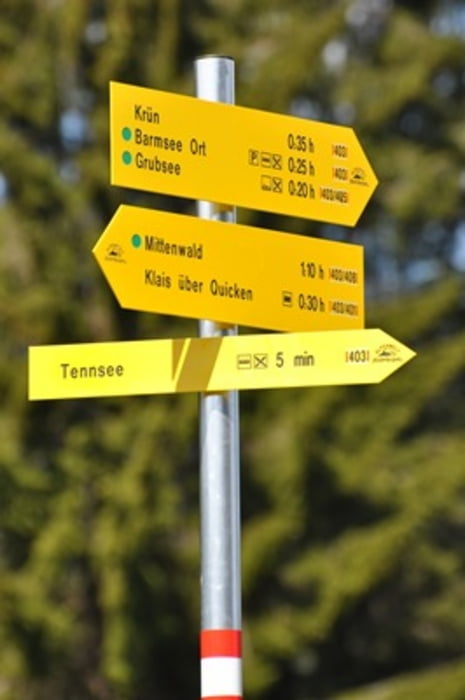
Leichte Tour am Gerold- und Barmsee vorbei bis Walgau und zurück zum Tennsee.

(Einschränkung; hinter Geroldsee ca. 100 m steiles Bergabstück)

Карта маршрута и высотный профиль

  • Open Street Map
  • Google
Minimum height 858 m Maximum height 963 m Детальный вид

More about the tour author

SISO
Member since 2011

Send private message

Комментарии

Camping Tennsee

GPS-Tracks

Trackpoints
  • GPX / Garmin Map Source (gpx) download
  • TCX / Garmin Training Center® (tcx) download
  • CRS / Garmin Training Center® (crs) download
  • Google Earth (kml) download
  • G7ToWin (g7t) download
  • TTQV (trk) download
  • Overlay (ovl) download
  • Fugawi (txt) download
  • Kompass (DAV) Track (tk) download
  • Формуляр маршрута (pdf) download
  • Original file of the author (gpx) download

More about the tour author

SISO
Member since 2011

Send private message
Share track
Add to my favorites
Remove from my favorites
Edit tags
My score
Rate
Маршрут: Tennsee - Gerold - Walgau
Вид: Горный велосипед
Длина: 18,8 km
Evaluated on:
Длительность:
Day(s)
Hour(s)
Minute(s)
Оценка: Ландшафт Веселье Кондиция Техника