


Die Wanderung auf den Nazogl beginnt bei der Hintereggeralm. Diese ist, so wie in der MTB Tour Hintereggeralm beschrieben gut erreichbar. Die schmale asphaltierte Straße bietet ausreichend Ausweichmöglichkeiten. Für mich eine der schönsten Touren im Ennstal, da die Bergtour schon während des Aufstiegs wunderbare Aussichten bietet.
The mountain tour Nazogl begins on the Hintereggeralm. This is, as described in the MTB Tour Hintereggeralm easily accessible. The narrow paved road offers enough passing places. The hike from of the Hintereggeralm to the Nazogl is much simpler than suggested by the view up from the valley. For me, one of the best tours in Ennstal, because of wonderful views.
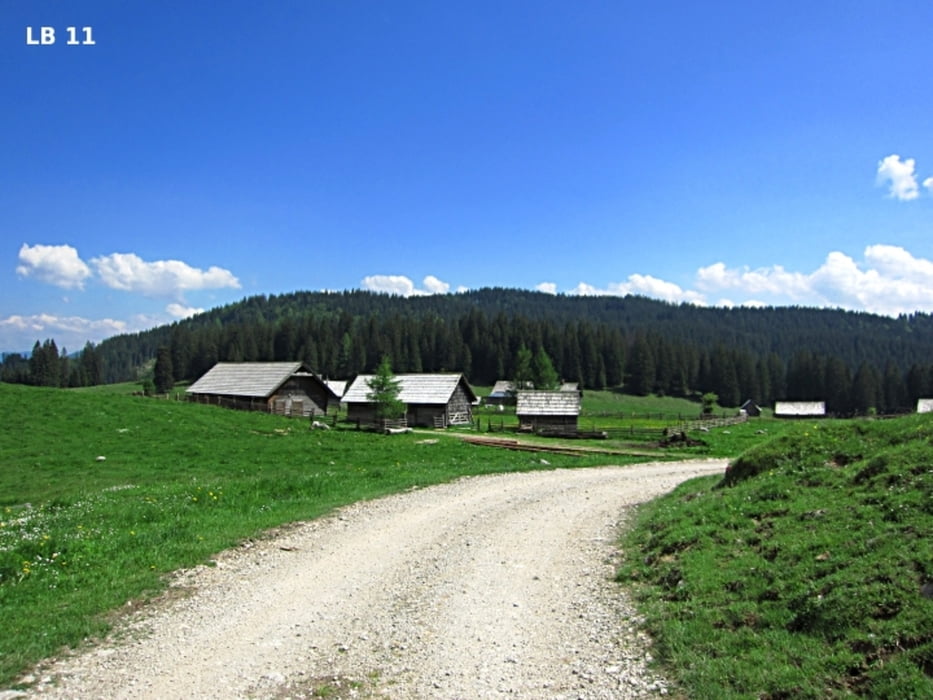
Галерея маршрутов
Карта маршрута и высотный профиль
Minimum height 1211 m
Maximum height 2112 m
More about the tour author
|
|
Trek1400d |
Комментарии

GPS-Tracks
Trackpoints-
GPX / Garmin Map Source (gpx) download
-
TCX / Garmin Training Center® (tcx) download
-
CRS / Garmin Training Center® (crs) download
-
Google Earth (kml) download
-
G7ToWin (g7t) download
-
TTQV (trk) download
-
Overlay (ovl) download
-
Fugawi (txt) download
-
Kompass (DAV) Track (tk) download
-
Формуляр маршрута (pdf) download
-
Original file of the author (gpx) download
More about the tour author
|
|
Trek1400d |
Add to my favorites
Remove from my favorites
Edit tags
Open track
My score
Rate