Login

Забыл пароль?

Cookies have to be accepted!
Your browser's cookie functionality is disabled. Please enable this functionality.

Not a member yet?

Register now
Login

Available for registred users only

Log in to use this feature.

Забыл пароль?

Cookies have to be accepted!
Your browser's cookie functionality is disabled. Please enable this functionality.

Not a member yet?

Register now
Filter
Категории
Advanced filters
  • Длина (км)
  • Высотомер
Сохранить фильтр Reset filter

TrackRank

QRCode

Technical data

Длина5,5 km Высотомер448 m Way down91 m Длительность00:00 h:m Дата26.05.2011
Оценки Author Ландшафт Веселье Кондиция Техника

Статистика

1067 Виды Оценки 30 Загрузки Среднее
Rate
  • Формуляр маршрута
  • Дорога
  • Загрузки

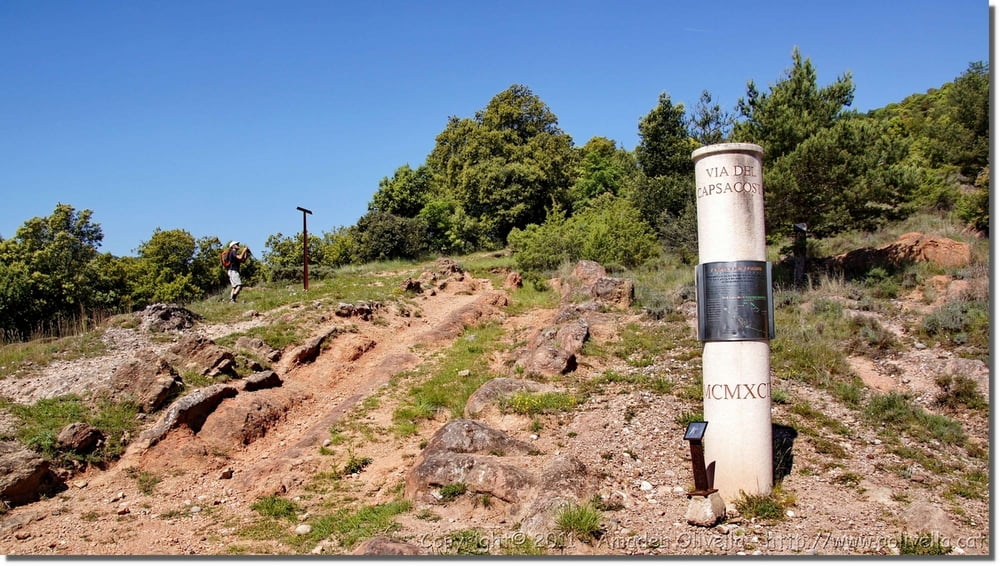
 Via Romana del Capsacosta (Via Annia) - Cal Ferrer - Cal Sargantana - Coll de Capsacosta - Font de l’Arç - Can Barramba - Can Cels - Sant Pau Vell - Sant Salvador de Bianya (Garrotxa) - Sant Pau de Segúries (Ripollès) - 21 de maig de 2011

Галерея маршрутов

Карта маршрута и высотный профиль

  • Open Street Map
  • Google
Minimum height 532 m Maximum height 981 m Детальный вид

More about the tour author

amadeu
Member since 2011

Send private message

Комментарии

GPS-Tracks

Trackpoints
  • GPX / Garmin Map Source (gpx) download
  • TCX / Garmin Training Center® (tcx) download
  • CRS / Garmin Training Center® (crs) download
  • Google Earth (kml) download
  • G7ToWin (g7t) download
  • TTQV (trk) download
  • Overlay (ovl) download
  • Fugawi (txt) download
  • Kompass (DAV) Track (tk) download
  • Формуляр маршрута (pdf) download
  • Original file of the author (gpx) download

More about the tour author

amadeu
Member since 2011

Send private message
Share track
Add to my favorites
Remove from my favorites
Edit tags
My score
Rate
Маршрут: Via Romana del Capsacosta (Via Annia)
Вид: Пешеходный туризм
Длина: 5,5 km
Evaluated on:
Длительность:
Day(s)
Hour(s)
Minute(s)
Оценка: Ландшафт Веселье Кондиция Техника