Login

Забыл пароль?

Cookies have to be accepted!
Your browser's cookie functionality is disabled. Please enable this functionality.

Not a member yet?

Register now
Login

Available for registred users only

Log in to use this feature.

Забыл пароль?

Cookies have to be accepted!
Your browser's cookie functionality is disabled. Please enable this functionality.

Not a member yet?

Register now
Filter
Категории
Advanced filters
  • Длина (км)
  • Высотомер
Сохранить фильтр Reset filter

TrackRank

QRCode

Technical data

Длина11,7 km Высотомер460 m Way down473 m Длительность03:00 h:m Дата07.06.2011
Оценки Author Ландшафт Веселье Кондиция Техника

Статистика

936 Виды Оценки 49 Загрузки Среднее
Rate
  • Формуляр маршрута
  • Дорога
  • Загрузки
Start und Finish bei: Lungötzer Hof; Gasthof & Hotel Familie Krallinger A-5523 Lungötz / Lammertal Tel. +43 / 06463 / 7012 http://lungoetzerhof.at 
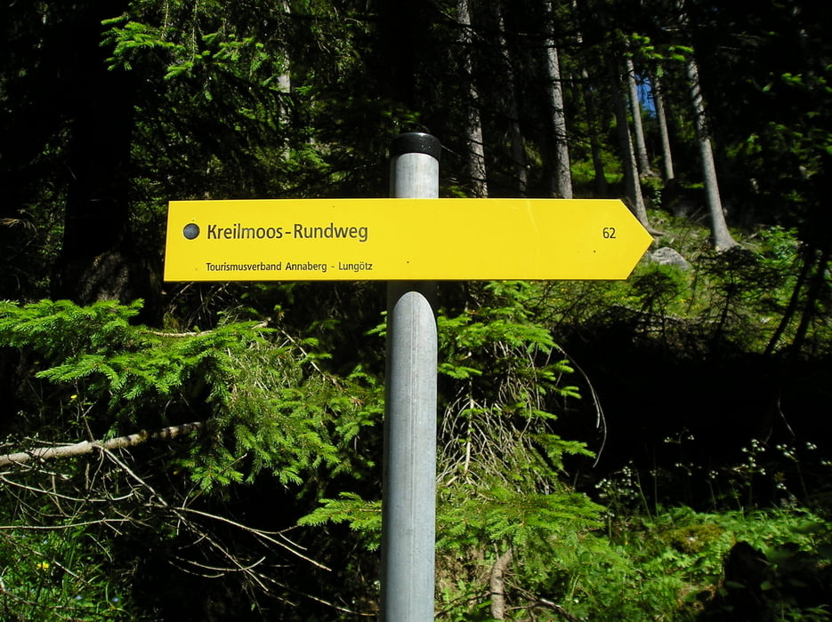
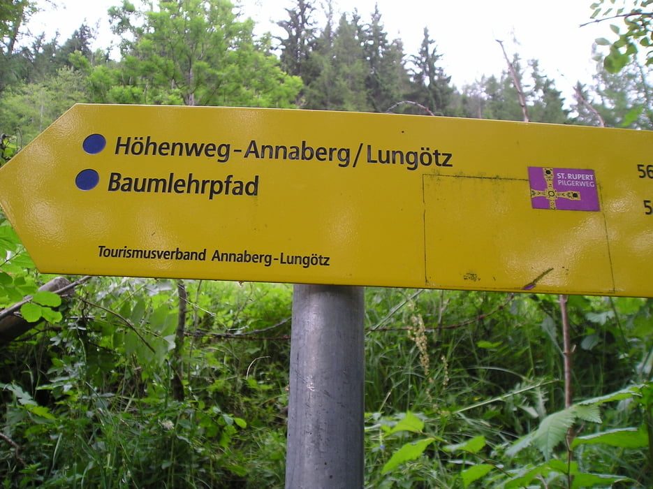
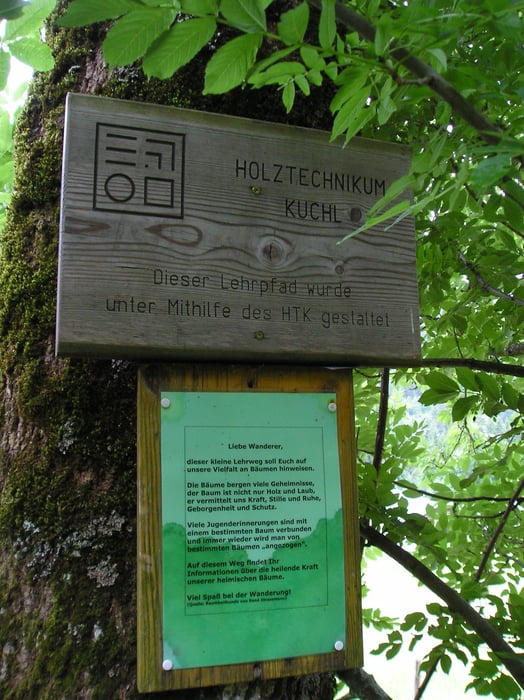
Route geht über Kreilmoos nach Annaberg und danach über Höhenweg (Bäumelehrpfad) Annaberg - Lungötz wieder zurück.

Галерея маршрутов

Карта маршрута и высотный профиль

  • Open Street Map
  • Google
Minimum height 773 m Maximum height 1196 m Детальный вид

More about the tour author

boskwa12
Member since 2008

Send private message

Комментарии

GPS-Tracks

Trackpoints
  • GPX / Garmin Map Source (gpx) download
  • TCX / Garmin Training Center® (tcx) download
  • CRS / Garmin Training Center® (crs) download
  • Google Earth (kml) download
  • G7ToWin (g7t) download
  • TTQV (trk) download
  • Overlay (ovl) download
  • Fugawi (txt) download
  • Kompass (DAV) Track (tk) download
  • Формуляр маршрута (pdf) download
  • Original file of the author (gpx) download

More about the tour author

boskwa12
Member since 2008

Send private message
Share track
Add to my favorites
Remove from my favorites
Edit tags
My score
Rate
Маршрут: Rundwanderung Lungötz - Annaberg ins Lammertal
Вид: Пешеходный туризм
Длина: 11,7 km
Evaluated on:
Длительность:
Day(s)
Hour(s)
Minute(s)
Оценка: Ландшафт Веселье Кондиция Техника