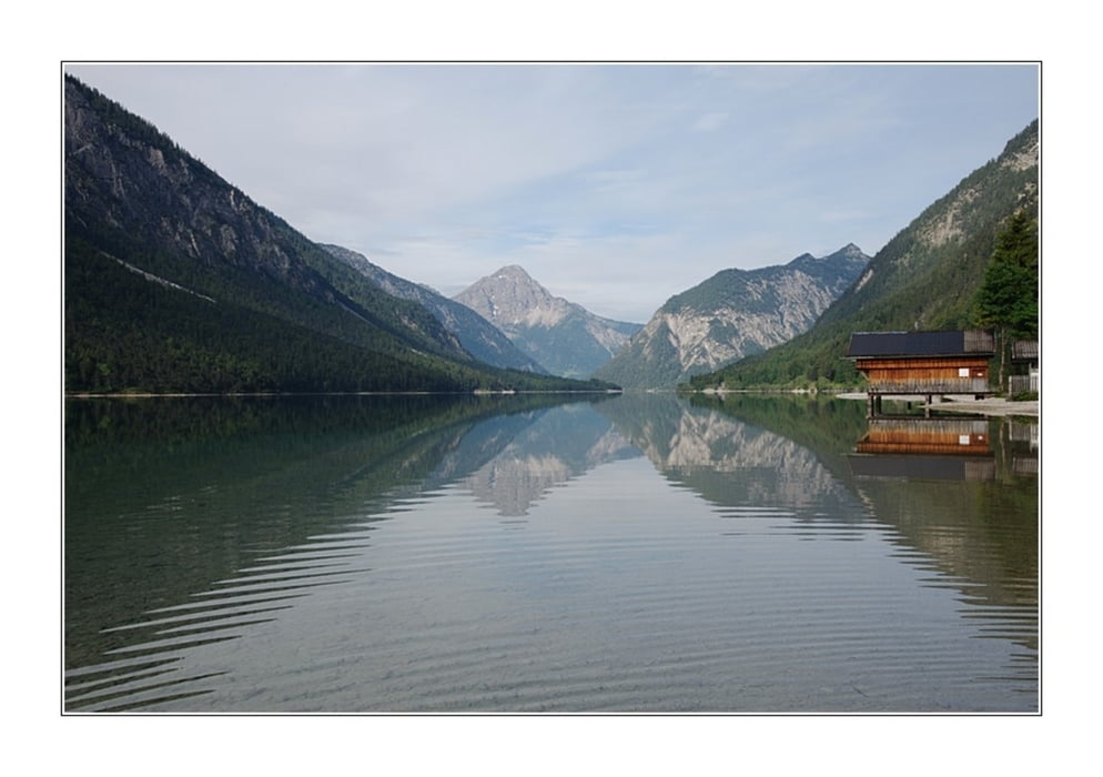
Schöne Kajaktour auf dem Plansee. Je nach Wind sollte sie entweder im Westen oder Osten begonnen werden. An beiden Enden gibt es auch Campingplätze.
Erweitert werden kann die Tour noch mit einem Abstecher in den Heiterwanger See, welcher mit dem Plansee durch einen Kanal verbunden ist.
Галерея маршрутов
Карта маршрута и высотный профиль
Minimum height 959 m
Maximum height 979 m
Комментарии

GPS-Tracks
Trackpoints-
GPX / Garmin Map Source (gpx) download
-
TCX / Garmin Training Center® (tcx) download
-
CRS / Garmin Training Center® (crs) download
-
Google Earth (kml) download
-
G7ToWin (g7t) download
-
TTQV (trk) download
-
Overlay (ovl) download
-
Fugawi (txt) download
-
Kompass (DAV) Track (tk) download
-
Формуляр маршрута (pdf) download
-
Original file of the author (gpx) download
Add to my favorites
Remove from my favorites
Edit tags
Open track
My score
Rate


