


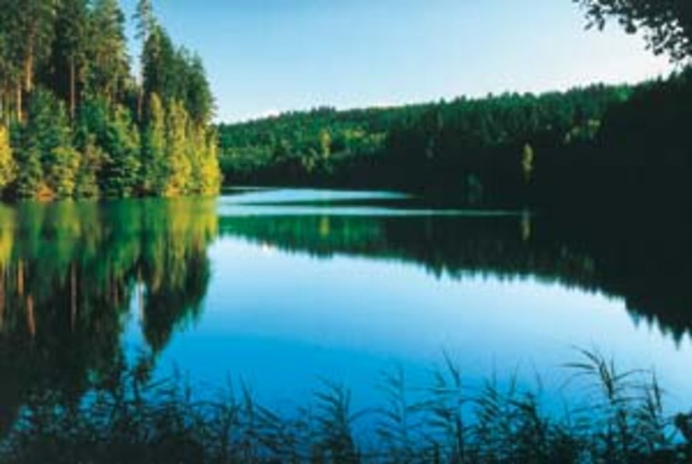
Abwechslungsreiche Tour auf den Hügeln und in den Tälern des Schurwalds bis an den Herrenbachstausee bei Adelberg.
Rommelshausen - Stetten - Haldenbachtal nach Aichschieß - Hohengehren - Reichenbachtal (kurze Schiebepassage) - Schlichten - Kaiserstraße nach Oberberken - Herrenbach Stausee bei Adelberg - Heimbachtal - Lehmberg - Bärentobel - Nassach im Nassachtal - Krapfenreut - Büchenbronn - Geigerbach- & Kirnbachtal - Hegenlohe - Reichenbachtal - Reichenbach - Lützelbachtal - Baltmannsberg - Aichschieß - Stetten - Rommelshausen
Галерея маршрутов
Карта маршрута и высотный профиль
Minimum height 260 m
Maximum height 511 m
More about the tour author
|
|
martinvollmar |
Комментарии

GPS-Tracks
Trackpoints-
GPX / Garmin Map Source (gpx) download
-
TCX / Garmin Training Center® (tcx) download
-
CRS / Garmin Training Center® (crs) download
-
Google Earth (kml) download
-
G7ToWin (g7t) download
-
TTQV (trk) download
-
Overlay (ovl) download
-
Fugawi (txt) download
-
Kompass (DAV) Track (tk) download
-
Формуляр маршрута (pdf) download
-
Original file of the author (gpx) download
More about the tour author
|
|
martinvollmar |
Add to my favorites
Remove from my favorites
Edit tags
Open track
My score
Rate