Login

Забыл пароль?

Cookies have to be accepted!
Your browser's cookie functionality is disabled. Please enable this functionality.

Not a member yet?

Register now
Login

Available for registred users only

Log in to use this feature.

Забыл пароль?

Cookies have to be accepted!
Your browser's cookie functionality is disabled. Please enable this functionality.

Not a member yet?

Register now
Filter
Категории
Advanced filters
  • Длина (км)
  • Высотомер
Сохранить фильтр Reset filter

TrackRank

QRCode

Technical data

Длина4,5 km Высотомер459 m Way down456 m Длительность02:04 h:m Дата06.07.2011
Оценки Author Ландшафт Веселье Кондиция Техника

Статистика

598 Виды Оценки 33 Загрузки Среднее
Rate
  • Формуляр маршрута
  • Дорога
  • Загрузки
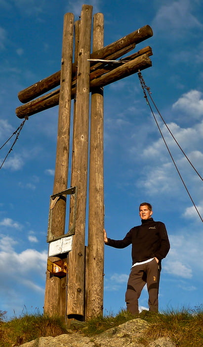
Falkert über Falken Klettersteig, errichtet vom JgB 26 Spittal an der Drau, Parken beim Falkertsee, links vorbei am gut markierten Weg, dann bei Markierung rechts Richtung Wand zum Einstieg Klettersteig, Abstieg über Piste

Галерея маршрутов

Карта маршрута и высотный профиль

  • Open Street Map
  • Google
Minimum height 1865 m Maximum height 2292 m Детальный вид

More about the tour author

kateem
Member since 2010

Send private message

Комментарии

GPS-Tracks

Trackpoints
  • GPX / Garmin Map Source (gpx) download
  • TCX / Garmin Training Center® (tcx) download
  • CRS / Garmin Training Center® (crs) download
  • Google Earth (kml) download
  • G7ToWin (g7t) download
  • TTQV (trk) download
  • Overlay (ovl) download
  • Fugawi (txt) download
  • Kompass (DAV) Track (tk) download
  • Формуляр маршрута (pdf) download
  • Original file of the author (tcx) download

More about the tour author

kateem
Member since 2010

Send private message
Share track
Add to my favorites
Remove from my favorites
Edit tags
My score
Rate
Маршрут: Falken Klettersteig auf den Falkert 2308m
Вид: Пешеходный туризм
Длина: 4,5 km
Evaluated on:
Длительность:
Day(s)
Hour(s)
Minute(s)
Оценка: Ландшафт Веселье Кондиция Техника