Login

Забыл пароль?

Cookies have to be accepted!
Your browser's cookie functionality is disabled. Please enable this functionality.

Not a member yet?

Register now
Login

Available for registred users only

Log in to use this feature.

Забыл пароль?

Cookies have to be accepted!
Your browser's cookie functionality is disabled. Please enable this functionality.

Not a member yet?

Register now
Filter
Категории
Advanced filters
  • Длина (км)
  • Высотомер
Сохранить фильтр Reset filter

TrackRank

QRCode

Technical data

Длина66,6 km Высотомер1817 m Way down1810 m Длительность06:40 h:m Дата10.07.2011
Оценки Author Ландшафт Веселье Кондиция Техника

Статистика

1160 Виды Оценки 221 Загрузки Среднее
Rate
  • Формуляр маршрута
  • Дорога
  • Загрузки

 Klassische Karwendelrunde

Startpunkt Scharmitz und Aufstieg zum Karwendelhaus. Über Hinterriss und Vereinalpe mit knackigen Aufstiegen auf der Sonnenseite und Abfahrt nach Mittenwald. Rückfahrt nach Scharmitz auf dem Isarradweg.
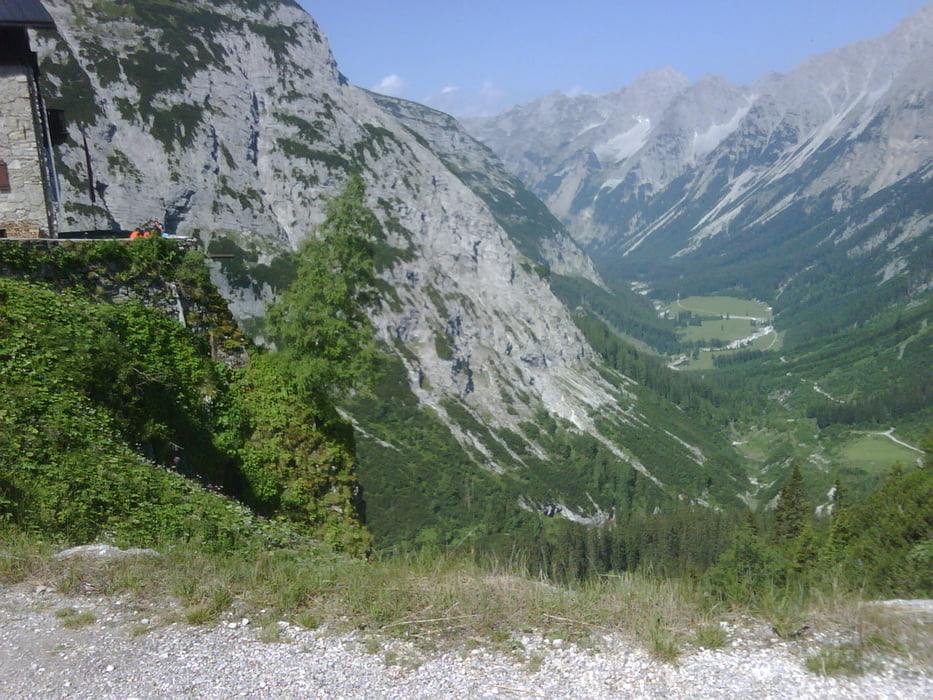
Галерея маршрутов

Карта маршрута и высотный профиль

  • Open Street Map
  • Google
Minimum height 905 m Maximum height 1805 m Детальный вид

More about the tour author

JacMar
Member since 2010

Send private message

Комментарии

GPS-Tracks

Trackpoints
  • GPX / Garmin Map Source (gpx) download
  • TCX / Garmin Training Center® (tcx) download
  • CRS / Garmin Training Center® (crs) download
  • Google Earth (kml) download
  • G7ToWin (g7t) download
  • TTQV (trk) download
  • Overlay (ovl) download
  • Fugawi (txt) download
  • Kompass (DAV) Track (tk) download
  • Формуляр маршрута (pdf) download
  • Original file of the author (gpx) download

More about the tour author

JacMar
Member since 2010

Send private message
Share track
Add to my favorites
Remove from my favorites
Edit tags
My score
Rate
Маршрут: Karwendelrunde
Вид: Горный велосипед
Длина: 66,6 km
Evaluated on:
Длительность:
Day(s)
Hour(s)
Minute(s)
Оценка: Ландшафт Веселье Кондиция Техника