
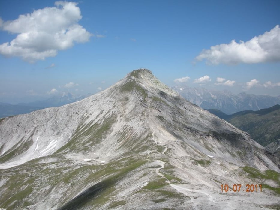

Startpunkt Ursprungalm (1610 m) oberhalb Talschluß Preuneggtal. Auf einem Karrenweg steil hinauf zur Giglachseehütte am Giglachsee (1.956 m). Weiter hinauf zum Znarchsattel (2.059 m) hinüber zur Akharscharte (2.315 m). Zuerst hinauf auf die Steirische Kalkspitze (2.459 m), dann zurück zur Akharscharte und hinauf zur Lungauer Kalkspitze (2.471 m). Weiter zur Akharscharte und sehr steil hinunter zur Oberhütte am Obersee (1.869 m). Sehr steil hinauf auf das Brotrinnl (2.088 m) und wieder sehr steil hinunter zum Ausgangspunkt Ursprungalm.
Галерея маршрутов


Карта маршрута и высотный профиль
Minimum height 1560 m
Maximum height 2467 m
More about the tour author
|
|
Fritzl71 |
Комментарии

A9 Abfahrt Liezen - Schladming/Pichl, Abzweigung Richtung Preuneggtal - Beschilderung folgen auf die Ursprungalm (Mautstraße)
GPS-Tracks
Trackpoints-
GPX / Garmin Map Source (gpx) download
-
TCX / Garmin Training Center® (tcx) download
-
CRS / Garmin Training Center® (crs) download
-
Google Earth (kml) download
-
G7ToWin (g7t) download
-
TTQV (trk) download
-
Overlay (ovl) download
-
Fugawi (txt) download
-
Kompass (DAV) Track (tk) download
-
Формуляр маршрута (pdf) download
-
Original file of the author (gpx) download
More about the tour author
|
|
Fritzl71 |
Add to my favorites
Remove from my favorites
Edit tags
Open track
My score
Rate