Login

Забыл пароль?

Cookies have to be accepted!
Your browser's cookie functionality is disabled. Please enable this functionality.

Not a member yet?

Register now
Login

Available for registred users only

Log in to use this feature.

Забыл пароль?

Cookies have to be accepted!
Your browser's cookie functionality is disabled. Please enable this functionality.

Not a member yet?

Register now
Filter
Категории
Advanced filters
  • Длина (км)
  • Высотомер
Сохранить фильтр Reset filter

TrackRank

QRCode

Technical data

Длина24,4 km Высотомер395 m Way down378 m Длительность02:00 h:m Дата14.07.2011
Оценки Author Ландшафт Веселье Кондиция Техника

Статистика

584 Виды 1 Оценка 70 Загрузки 3.00 Среднее
Rate
  • Формуляр маршрута
  • Дорога
  • Загрузки
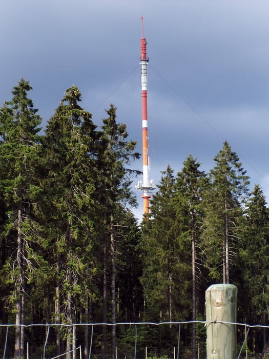
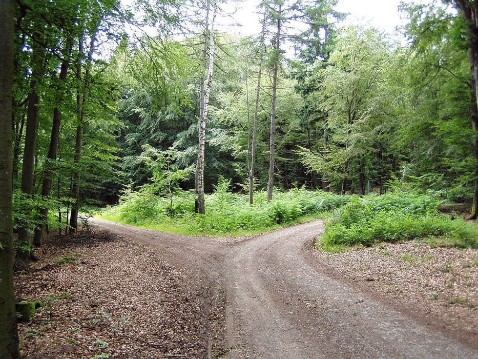
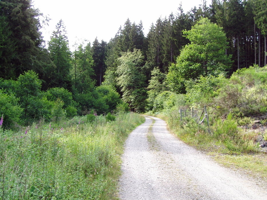
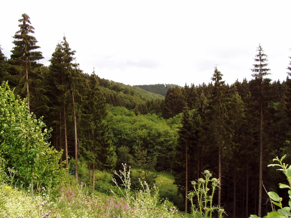
A spectacular MTB ride 90% on the forest roads at the slopes of Schwarzer Mann mountain in Schnee EIfel on the German-Belgian border. Very little asphalt coverage, splendid lookouts on the top of the hill without any difficult passages.

Галерея маршрутов

Карта маршрута и высотный профиль

  • Open Street Map
  • Google
Minimum height 487 m Maximum height 700 m Детальный вид

More about the tour author

JiriK
Member since 2011

Send private message

Комментарии

Start for the church in village Olzheim.

GPS-Tracks

Trackpoints
  • GPX / Garmin Map Source (gpx) download
  • TCX / Garmin Training Center® (tcx) download
  • CRS / Garmin Training Center® (crs) download
  • Google Earth (kml) download
  • G7ToWin (g7t) download
  • TTQV (trk) download
  • Overlay (ovl) download
  • Fugawi (txt) download
  • Kompass (DAV) Track (tk) download
  • Формуляр маршрута (pdf) download
  • Original file of the author (gpx) download

More about the tour author

JiriK
Member since 2011

Send private message
Share track
Add to my favorites
Remove from my favorites
Edit tags
My score
Rate
Маршрут: Schnee Eifel - around Schwarzer Mann
Вид: Горный велосипед
Длина: 24,4 km
Evaluated on:
Длительность:
Day(s)
Hour(s)
Minute(s)
Оценка: Ландшафт Веселье Кондиция Техника