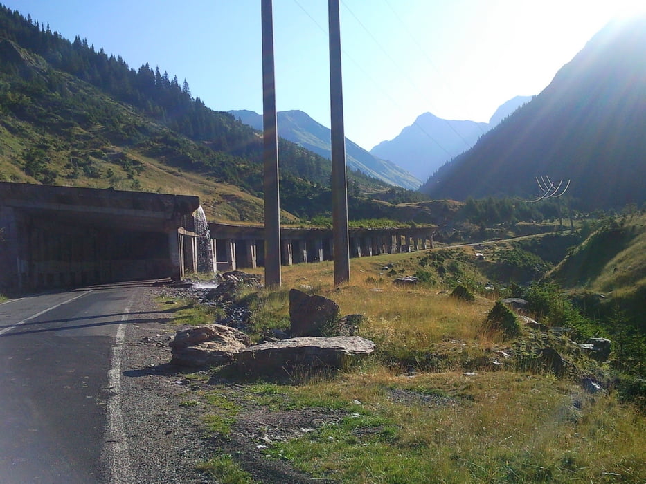
Začel sem v kampu Vidraru na vzhodni obali jezera. Potem pa samo po cesti malo dol in veliko gor. Prvi del ob jezeru je dolgočasen, ko pa se začne hrib je res lepo.
Thanks to "conductador" Causescu Romania have one of most beautiful mountain roads. I started this tour from Vidraru Lacul and then up to top of Transfagarsan. Tunnel on the top is not the best part of tour - it will be helpful if you will have torch with.
Further information at
http://en.wikipedia.org/wiki/Transf%C4%83g%C4%83r%C4%83%C8%99anГалерея маршрутов
Карта маршрута и высотный профиль
Minimum height 832 m
Maximum height 1987 m
Комментарии

GPS-Tracks
Trackpoints-
GPX / Garmin Map Source (gpx) download
-
TCX / Garmin Training Center® (tcx) download
-
CRS / Garmin Training Center® (crs) download
-
Google Earth (kml) download
-
G7ToWin (g7t) download
-
TTQV (trk) download
-
Overlay (ovl) download
-
Fugawi (txt) download
-
Kompass (DAV) Track (tk) download
-
Формуляр маршрута (pdf) download
-
Original file of the author (gpx) download
Add to my favorites
Remove from my favorites
Edit tags
Open track
My score
Rate


