Login

Забыл пароль?

Cookies have to be accepted!
Your browser's cookie functionality is disabled. Please enable this functionality.

Not a member yet?

Register now
Login

Available for registred users only

Log in to use this feature.

Забыл пароль?

Cookies have to be accepted!
Your browser's cookie functionality is disabled. Please enable this functionality.

Not a member yet?

Register now
Filter
Категории
Advanced filters
  • Длина (км)
  • Высотомер
Сохранить фильтр Reset filter

TrackRank

QRCode

Technical data

Длина25,5 km Высотомер58 m Way down421 m Длительность00:00 h:m Дата31.07.2011
Оценки Author Ландшафт Веселье Кондиция Техника

Статистика

149 Виды Оценки 9 Загрузки Среднее
Rate
  • Формуляр маршрута
  • Дорога
  • Загрузки
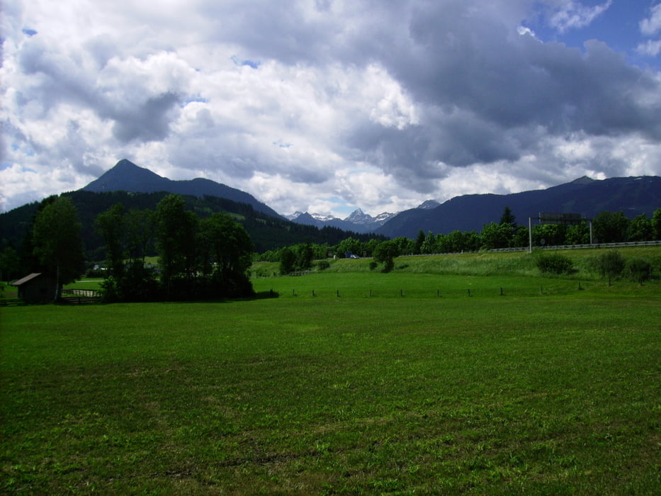
Von 1.194 Meter auf 858 Meter Seehöhe "rollen", das ist der ideale Einstieg in eine mehrtägige Radtour *g*.  Einzig, die Baustellen  (Bereich Gasthofalm: Baustelle 2. Tunnelröhre und Brückensarnierung, Bereich Weisenaualm: Flussverbauung Stand: Juli 2011) trüben das tolle Landschaftsbild.

Галерея маршрутов

Карта маршрута и высотный профиль

  • Open Street Map
  • Google
Minimum height 827 m Maximum height 1192 m Детальный вид

More about the tour author

Hafi
Member since 2009

Send private message

Комментарии

GPS-Tracks

Trackpoints
  • GPX / Garmin Map Source (gpx) download
  • TCX / Garmin Training Center® (tcx) download
  • CRS / Garmin Training Center® (crs) download
  • Google Earth (kml) download
  • G7ToWin (g7t) download
  • TTQV (trk) download
  • Overlay (ovl) download
  • Fugawi (txt) download
  • Kompass (DAV) Track (tk) download
  • Формуляр маршрута (pdf) download
  • Original file of the author (gpx) download

More about the tour author

Hafi
Member since 2009

Send private message
Share track
Add to my favorites
Remove from my favorites
Edit tags
My score
Rate
Маршрут: Ennsradweg Start bis Radstadt
Вид: Трековый велосипед
Длина: 25,5 km
Evaluated on:
Длительность:
Day(s)
Hour(s)
Minute(s)
Оценка: Ландшафт Веселье Кондиция Техника