Login

Забыл пароль?

Cookies have to be accepted!
Your browser's cookie functionality is disabled. Please enable this functionality.

Not a member yet?

Register now
Login

Available for registred users only

Log in to use this feature.

Забыл пароль?

Cookies have to be accepted!
Your browser's cookie functionality is disabled. Please enable this functionality.

Not a member yet?

Register now
Filter
Категории
Advanced filters
  • Длина (км)
  • Высотомер
Сохранить фильтр Reset filter

TrackRank

QRCode

Technical data

Длина3,5 km Высотомер37 m Way down37 m Длительность00:00 h:m Дата03.08.2011
Оценки Author Ландшафт Веселье Кондиция Техника

Статистика

204 Виды Оценки 8 Загрузки Среднее
Rate
  • Формуляр маршрута
  • Дорога
  • Загрузки
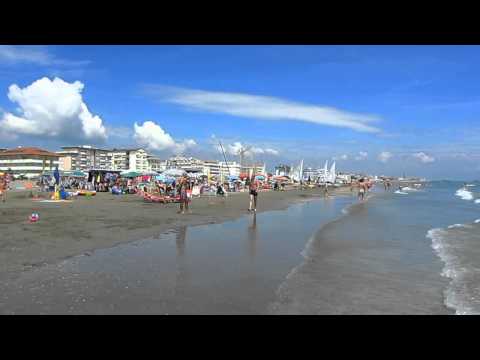
Die beschilderte Laufrunde im südwestlichen Teil von Caorle beginnt in der Nähe vom Strand und führt am Kanal entlang bis zum Yachthafen. Die ersten 1,8 km verlaufen großteils auf dem Damm neben dem Kanal und du kannst zwischen Wiese oder schmalem Schotterweg wählen.

Галерея маршрутов

Карта маршрута и высотный профиль

  • Open Street Map
  • Google
Minimum height -9 m Maximum height 10 m Детальный вид

More about the tour author

Trek1400d
Member since 2008

Send private message

Комментарии

GPS-Tracks

Trackpoints
  • GPX / Garmin Map Source (gpx) download
  • TCX / Garmin Training Center® (tcx) download
  • CRS / Garmin Training Center® (crs) download
  • Google Earth (kml) download
  • G7ToWin (g7t) download
  • TTQV (trk) download
  • Overlay (ovl) download
  • Fugawi (txt) download
  • Kompass (DAV) Track (tk) download
  • Формуляр маршрута (pdf) download
  • Original file of the author (gpx) download

More about the tour author

Trek1400d
Member since 2008

Send private message
Share track
Add to my favorites
Remove from my favorites
Edit tags
My score
Rate
Маршрут: Caorle kurz
Вид: Бег
Длина: 3,5 km
Evaluated on:
Длительность:
Day(s)
Hour(s)
Minute(s)
Оценка: Ландшафт Веселье Кондиция Техника