Login

Забыл пароль?

Cookies have to be accepted!
Your browser's cookie functionality is disabled. Please enable this functionality.

Not a member yet?

Register now
Login

Available for registred users only

Log in to use this feature.

Забыл пароль?

Cookies have to be accepted!
Your browser's cookie functionality is disabled. Please enable this functionality.

Not a member yet?

Register now
Filter
Категории
Advanced filters
  • Длина (км)
  • Высотомер
Сохранить фильтр Reset filter

TrackRank

QRCode

Technical data

Длина25,2 km Высотомер571 m Way down569 m Длительность02:15 h:m Дата08.08.2011
Оценки Author User Ландшафт Веселье Кондиция Техника

Статистика

1128 Виды 3 Оценки 204 Загрузки 1.67 Среднее
Rate
  • Формуляр маршрута
  • Дорога
  • Загрузки
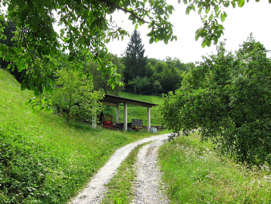
Beautiful and relatively easy to do tour in the Soca area.

Галерея маршрутов

Карта маршрута и высотный профиль

  • Open Street Map
  • Google
Minimum height 160 m Maximum height 607 m Детальный вид

More about the tour author

The_Rat
Member since 2010

Send private message

Комментарии

Point your car navigation in drection Most Na Soci. The starting point is a parking place just in front of a small pub. The tour starts from this parking place (facing the pub to your right hand side.

GPS-Tracks

Trackpoints
  • GPX / Garmin Map Source (gpx) download
  • TCX / Garmin Training Center® (tcx) download
  • CRS / Garmin Training Center® (crs) download
  • Google Earth (kml) download
  • G7ToWin (g7t) download
  • TTQV (trk) download
  • Overlay (ovl) download
  • Fugawi (txt) download
  • Kompass (DAV) Track (tk) download
  • Формуляр маршрута (pdf) download
  • Original file of the author (gpx) download

More about the tour author

The_Rat
Member since 2010

Send private message
Share track
Add to my favorites
Remove from my favorites
Edit tags
My score
Rate
Маршрут: Tolmin Area - Most Na Soci
Вид: Горный велосипед
Длина: 25,2 km
Evaluated on:
Длительность:
Day(s)
Hour(s)
Minute(s)
Оценка: Ландшафт Веселье Кондиция Техника