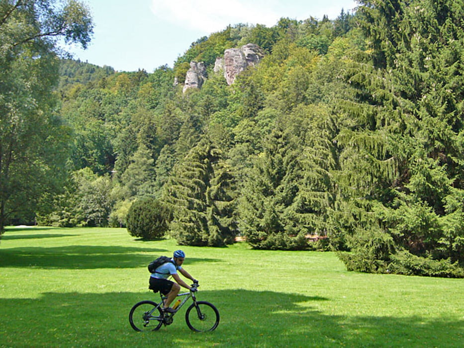
Streckenbeschaffenheit: Asphaltierte und nicht asphaltierte Wald- und Feldwege, wenig Trails.
Streckenverlauf: Busenbach - Grünwettersbach - Hohenwettersbach - Aue - Durlach - Wolfartsweier - Ettlingen - Ettlingenweier - Oberweier - Malsch - Oberweier - Ettlingenweier - Ettlingen - Bf. Busenbach - Neurod - Marxzell - Bad Herrenalb - Mauzenstein - Falkenstein (Gewitter) - Bernbach - Kreuzweghütte - Walpertstal - Waldprechtsweier - Malsch - Oberweier - Ettlingenweier - Ettlingen - Busenbach.
Further information at
http://www.velotouren.net/radtouren/touren/touren2011/nordschwarzwald/tour12/Галерея маршрутов
Карта маршрута и высотный профиль
Minimum height 130 m
Maximum height 707 m
Комментарии

GPS-Tracks
Trackpoints-
GPX / Garmin Map Source (gpx) download
-
TCX / Garmin Training Center® (tcx) download
-
CRS / Garmin Training Center® (crs) download
-
Google Earth (kml) download
-
G7ToWin (g7t) download
-
TTQV (trk) download
-
Overlay (ovl) download
-
Fugawi (txt) download
-
Kompass (DAV) Track (tk) download
-
Формуляр маршрута (pdf) download
-
Original file of the author (gpx) download
Add to my favorites
Remove from my favorites
Edit tags
Open track
My score
Rate


