Login

Забыл пароль?

Cookies have to be accepted!
Your browser's cookie functionality is disabled. Please enable this functionality.

Not a member yet?

Register now
Login

Available for registred users only

Log in to use this feature.

Забыл пароль?

Cookies have to be accepted!
Your browser's cookie functionality is disabled. Please enable this functionality.

Not a member yet?

Register now
Filter
Категории
Advanced filters
  • Длина (км)
  • Высотомер
Сохранить фильтр Reset filter

TrackRank

QRCode

Technical data

Длина24,8 km Высотомер56 m Way down58 m Длительность02:00 h:m Дата23.08.2011
Оценки Author Ландшафт Веселье Кондиция Техника

Статистика

1186 Виды Оценки 71 Загрузки Среднее
Rate
  • Формуляр маршрута
  • Дорога
  • Загрузки
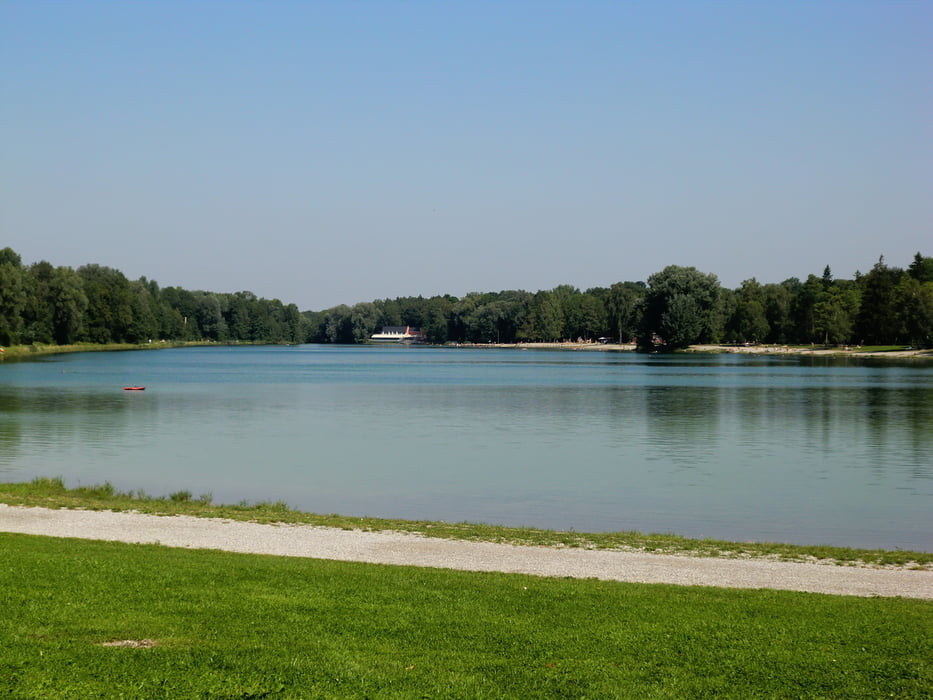
Die Tour beginnt in Augsburg am Kuhsee (Hochablaß)Einkehrmöglichkeit am Kuhsee,  Jägerhaus nach 20 min,oder Weitmannsee ca. 1 Std . Badestationen,Kuhsee,Lautersee,Ilsesee,Mandichosee,Weitmannsee,Auensee(FKK) Sie führt durch Augsburgs Naherholungsgebiet Siebentischwald.

Карта маршрута и высотный профиль

  • Open Street Map
  • Google
Minimum height 485 m Maximum height 520 m Детальный вид

More about the tour author

fmayr
Member since 2011

Send private message

Комментарии

Augsburg Ost-Hochzoll Süd- Kuhsee 

GPS-Tracks

Trackpoints
  • GPX / Garmin Map Source (gpx) download
  • TCX / Garmin Training Center® (tcx) download
  • CRS / Garmin Training Center® (crs) download
  • Google Earth (kml) download
  • G7ToWin (g7t) download
  • TTQV (trk) download
  • Overlay (ovl) download
  • Fugawi (txt) download
  • Kompass (DAV) Track (tk) download
  • Формуляр маршрута (pdf) download
  • Original file of the author (gpx) download

More about the tour author

fmayr
Member since 2011

Send private message
Share track
Add to my favorites
Remove from my favorites
Edit tags
My score
Rate
Маршрут: 6 Badeseeen Tour Augsburg Ost
Вид: Велосипедные маршруты
Длина: 24,8 km
Evaluated on:
Длительность:
Day(s)
Hour(s)
Minute(s)
Оценка: Ландшафт Веселье Кондиция Техника