Login

Забыл пароль?

Cookies have to be accepted!
Your browser's cookie functionality is disabled. Please enable this functionality.

Not a member yet?

Register now
Login

Available for registred users only

Log in to use this feature.

Забыл пароль?

Cookies have to be accepted!
Your browser's cookie functionality is disabled. Please enable this functionality.

Not a member yet?

Register now
Filter
Категории
Advanced filters
  • Длина (км)
  • Высотомер
Сохранить фильтр Reset filter

TrackRank

QRCode

Technical data

Длина52,0 km Высотомер568 m Way down613 m Длительность02:45 h:m Дата26.08.2011
Оценки Author Ландшафт Веселье Кондиция Техника

Статистика

403 Виды Оценки 33 Загрузки Среднее
Rate
  • Формуляр маршрута
  • Дорога
  • Загрузки

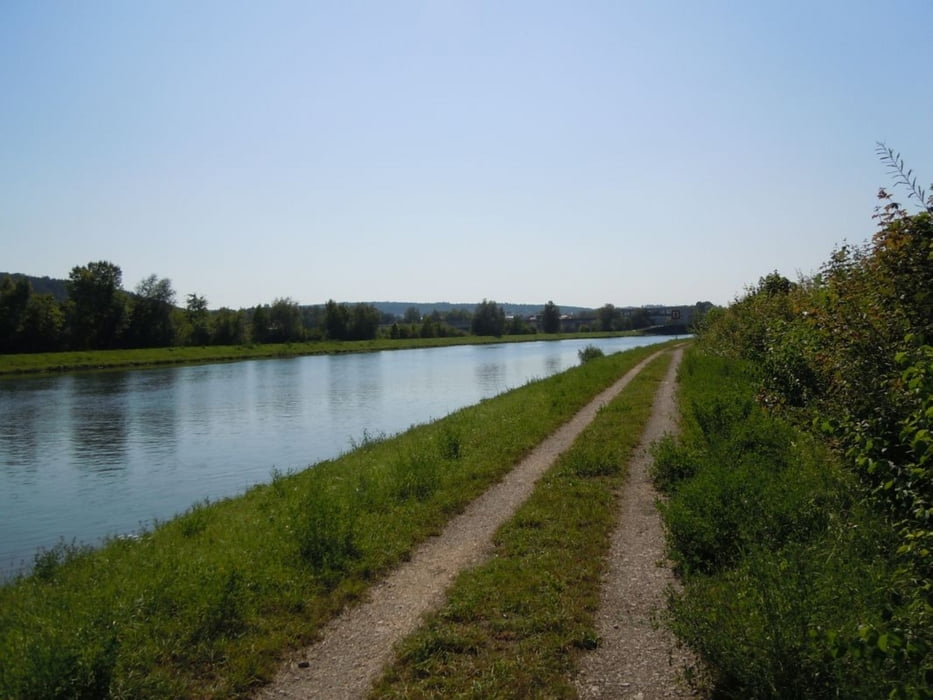
Schöne gemütliche Tour mit einem kleinen Teil an Single-Trails, größtenteils Feldwege aber auch Nebenstraßen.

Leider habe ich das Fotografieren ein wenig vernachlässigt :-(

Галерея маршрутов

Карта маршрута и высотный профиль

  • Open Street Map
  • Google
Minimum height 336 m Maximum height 450 m Детальный вид

More about the tour author

Herzblut
Member since 2010

Send private message

Комментарии

GPS-Tracks

Trackpoints
  • GPX / Garmin Map Source (gpx) download
  • TCX / Garmin Training Center® (tcx) download
  • CRS / Garmin Training Center® (crs) download
  • Google Earth (kml) download
  • G7ToWin (g7t) download
  • TTQV (trk) download
  • Overlay (ovl) download
  • Fugawi (txt) download
  • Kompass (DAV) Track (tk) download
  • Формуляр маршрута (pdf) download
  • Original file of the author (gpx) download

More about the tour author

Herzblut
Member since 2010

Send private message
Share track
Add to my favorites
Remove from my favorites
Edit tags
My score
Rate
Маршрут: Querbeet :-D
Вид: Горный велосипед
Длина: 52,0 km
Evaluated on:
Длительность:
Day(s)
Hour(s)
Minute(s)
Оценка: Ландшафт Веселье Кондиция Техника