Login

Забыл пароль?

Cookies have to be accepted!
Your browser's cookie functionality is disabled. Please enable this functionality.

Not a member yet?

Register now
Login

Available for registred users only

Log in to use this feature.

Забыл пароль?

Cookies have to be accepted!
Your browser's cookie functionality is disabled. Please enable this functionality.

Not a member yet?

Register now
Filter
Категории
Advanced filters
  • Длина (км)
  • Высотомер
Сохранить фильтр Reset filter

TrackRank

QRCode

Technical data

Длина118,9 km Высотомер570 m Way down810 m Длительность07:00 h:m Дата29.08.2011
Оценки Author Ландшафт Веселье Кондиция Техника

Статистика

2158 Виды 1 Оценка 61 Загрузки 3.00 Среднее
Rate
  • Формуляр маршрута
  • Дорога
  • Загрузки
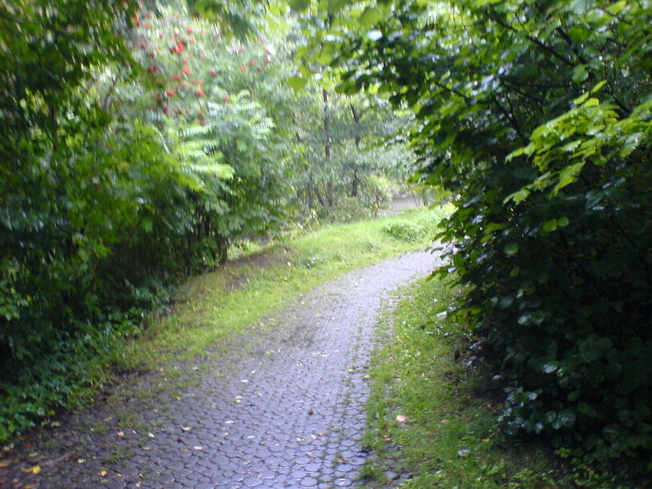
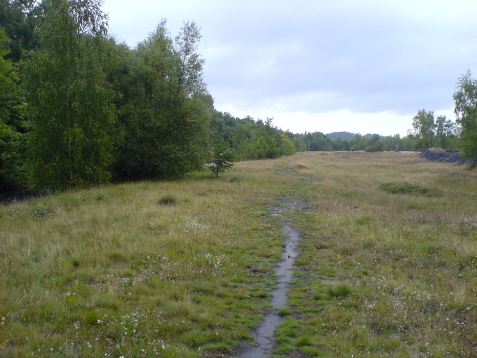
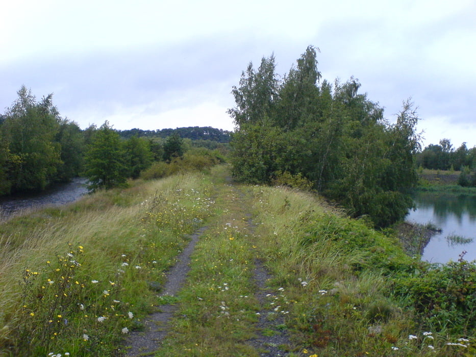
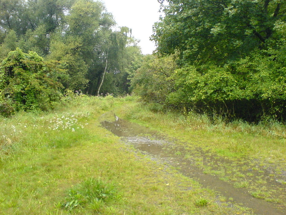
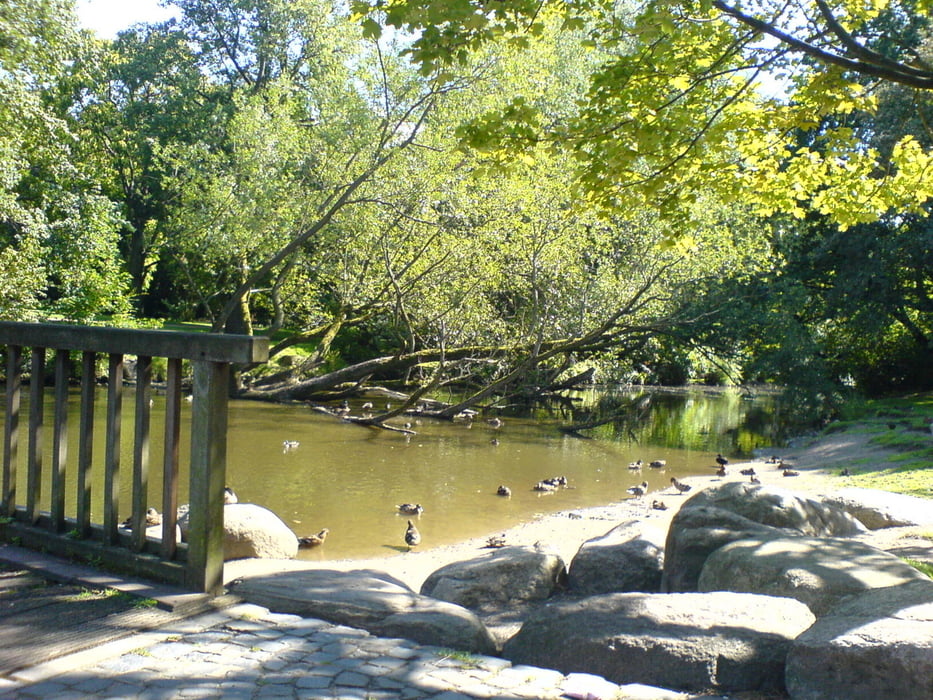
Sehr schöne Strecke an der Oker und Aller entlang. Zum größten Teil auf Feld- ,Wald-, Wirdschafts-, und Radwegen.

Галерея маршрутов

Карта маршрута и высотный профиль

  • Open Street Map
  • Google
Minimum height -53 m Maximum height 278 m Детальный вид

More about the tour author

gnoetgen
Member since 2010

Send private message

Комментарии

GPS-Tracks

Trackpoints
  • GPX / Garmin Map Source (gpx) download
  • TCX / Garmin Training Center® (tcx) download
  • CRS / Garmin Training Center® (crs) download
  • Google Earth (kml) download
  • G7ToWin (g7t) download
  • TTQV (trk) download
  • Overlay (ovl) download
  • Fugawi (txt) download
  • Kompass (DAV) Track (tk) download
  • Формуляр маршрута (pdf) download
  • Original file of the author (gpx) download

More about the tour author

gnoetgen
Member since 2010

Send private message
Share track
Add to my favorites
Remove from my favorites
Edit tags
My score
Rate
Маршрут: Oker-Braunschweig-Celle
Вид: Горный велосипед
Длина: 118,9 km
Evaluated on:
Длительность:
Day(s)
Hour(s)
Minute(s)
Оценка: Ландшафт Веселье Кондиция Техника