
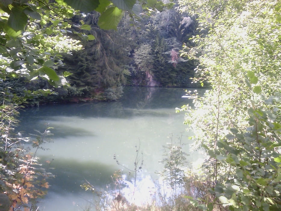

Die Tour beginnt in Goldkronach und führt dann über Leisau, Bad Berneck, Rimlas, Marktschorgast, Hohenknoten, Bad Berneck, Goldmühl, Leisau wieder zurück nach Goldkronach. Sie verläuft hauptsächlich auf Rad/Wanderwegen und Trails. Einkehrmöglichkeiten gibt es gar viele, die beste (im Sommer) ist in Marktschorgast der Goldbergsee da er zum baden einlädt und zudem bewirtschaftet ist.
Viel Spass!
Галерея маршрутов


Карта маршрута и высотный профиль
Minimum height 382 m
Maximum height 586 m
More about the tour author
|
|
berndhuber |
Комментарии

A9 Ausfahrt Goldkronach>Benk>Neudorf>Goldkronach
GPS-Tracks
Trackpoints-
GPX / Garmin Map Source (gpx) download
-
TCX / Garmin Training Center® (tcx) download
-
CRS / Garmin Training Center® (crs) download
-
Google Earth (kml) download
-
G7ToWin (g7t) download
-
TTQV (trk) download
-
Overlay (ovl) download
-
Fugawi (txt) download
-
Kompass (DAV) Track (tk) download
-
Формуляр маршрута (pdf) download
-
Original file of the author (gpx) download
More about the tour author
|
|
berndhuber |
Add to my favorites
Remove from my favorites
Edit tags
Open track
My score
Rate