
")

Tour beginnt ab Bergstation der Sesselseinbahn "Hochplatte" in Marquartstein.
Der eigentliche Aufstieg zur Hochplatte ist nach Regen unangenehm glitischig. Der Abstieg zur Hochplattenalm ist trockener.
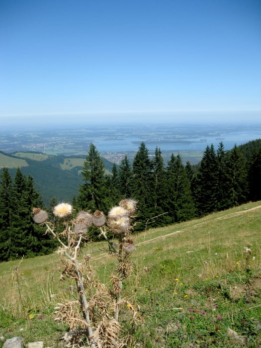
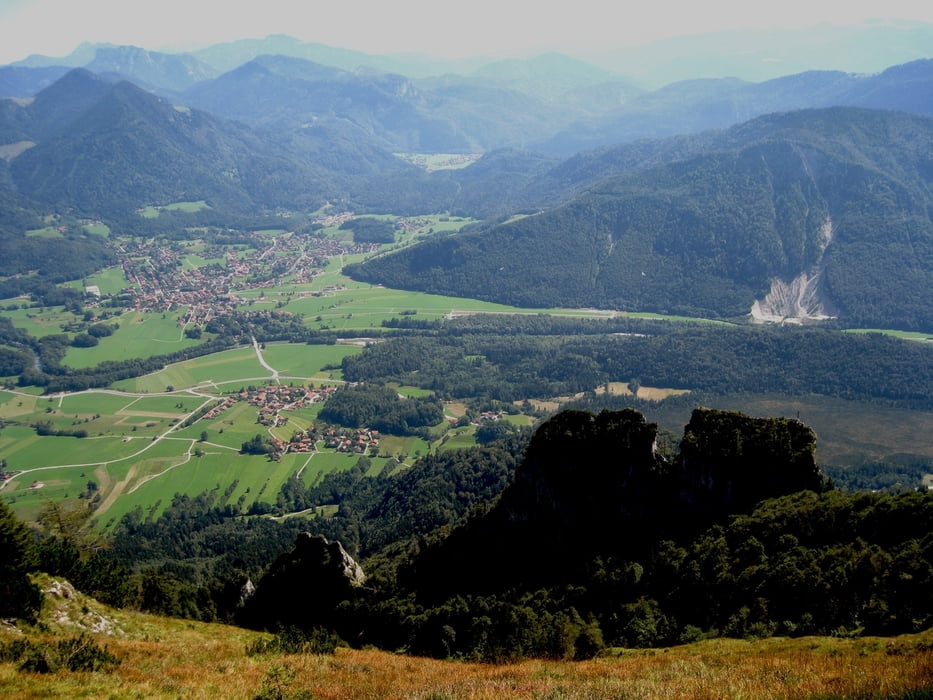
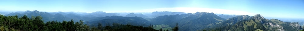
Tolle Sicht in alle Richtungen:
Richtung Norden: Chiemsee
Richtung Osten: Hochfelln, Hochgern, Hördlwand
Richtung Süden: je nach Sicht bis Großglockner
Richtung Westen: Kampenwand
Gute Einkehrmöglichkeit: Plattenalm
Галерея маршрутов
Карта маршрута и высотный профиль
Minimum height 986 m
Maximum height 1574 m
More about the tour author

|
HBobeth |
Комментарии

Autobahn München - Salzburg
Ausfahrt: Grabenstätt
Weiterfahrt bis Marquartstein, dort zur Talstation der Sesselbahn "Hochplatte".
GPS-Tracks
Trackpoints-
GPX / Garmin Map Source (gpx) download
-
TCX / Garmin Training Center® (tcx) download
-
CRS / Garmin Training Center® (crs) download
-
Google Earth (kml) download
-
G7ToWin (g7t) download
-
TTQV (trk) download
-
Overlay (ovl) download
-
Fugawi (txt) download
-
Kompass (DAV) Track (tk) download
-
Формуляр маршрута (pdf) download
-
Original file of the author (gpx) download
More about the tour author
|
|
HBobeth |
Add to my favorites
Remove from my favorites
Edit tags
Open track
My score
Rate