Login

Забыл пароль?

Cookies have to be accepted!
Your browser's cookie functionality is disabled. Please enable this functionality.

Not a member yet?

Register now
Login

Available for registred users only

Log in to use this feature.

Забыл пароль?

Cookies have to be accepted!
Your browser's cookie functionality is disabled. Please enable this functionality.

Not a member yet?

Register now
Filter
Категории
Advanced filters
  • Длина (км)
  • Высотомер
Сохранить фильтр Reset filter

TrackRank

QRCode

Technical data

Длина92,0 km Высотомер6398 m Way down6379 m Длительность6 days 0 h Дата04.09.2011
Оценки Author Ландшафт Веселье Кондиция Техника

Статистика

694 Виды Оценки 146 Загрузки Среднее
Rate
  • Формуляр маршрута
  • Дорога
  • Загрузки
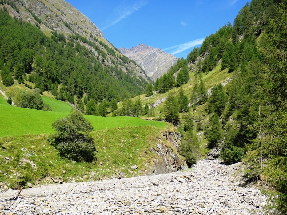
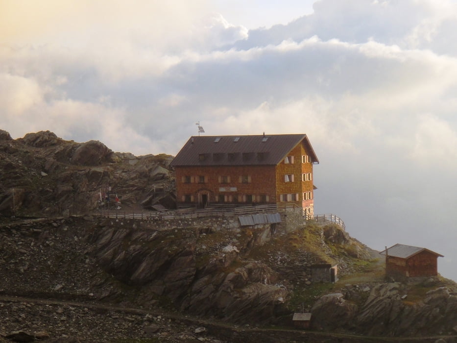
In 6 Tagen auf dem Meraner Höheweg rund um die Texelgruppe. Startpunkt ist der kostenlose Parkplatz am Korblift von Algund-Vellau. Von da mit dem Korblift bis zur Leiteralm und dann Gehrichtung im Uhrzeigersinn Richtung Hochganghaus.

Галерея маршрутов

Карта маршрута и высотный профиль

  • Open Street Map
  • Google
Minimum height 781 m Maximum height 2904 m Детальный вид

More about the tour author

steffennestler
Member since 2009

Send private message

Комментарии

GPS-Tracks

Trackpoints
  • GPX / Garmin Map Source (gpx) download
  • TCX / Garmin Training Center® (tcx) download
  • CRS / Garmin Training Center® (crs) download
  • Google Earth (kml) download
  • G7ToWin (g7t) download
  • TTQV (trk) download
  • Overlay (ovl) download
  • Fugawi (txt) download
  • Kompass (DAV) Track (tk) download
  • Формуляр маршрута (pdf) download
  • Original file of the author (gpx) download

More about the tour author

steffennestler
Member since 2009

Send private message
Share track
Add to my favorites
Remove from my favorites
Edit tags
My score
Rate
Маршрут: Meraner Höhenweg 2011
Вид: Горный маршрут
Длина: 92,0 km
Evaluated on:
Длительность:
Day(s)
Hour(s)
Minute(s)
Оценка: Ландшафт Веселье Кондиция Техника