Login

Забыл пароль?

Cookies have to be accepted!
Your browser's cookie functionality is disabled. Please enable this functionality.

Not a member yet?

Register now
Login

Available for registred users only

Log in to use this feature.

Забыл пароль?

Cookies have to be accepted!
Your browser's cookie functionality is disabled. Please enable this functionality.

Not a member yet?

Register now
Filter
Категории
Advanced filters
  • Длина (км)
  • Высотомер
Сохранить фильтр Reset filter

TrackRank

QRCode

Technical data

Длина126,0 km Высотомер382 m Way down407 m Длительность06:00 h:m Дата04.09.2011
Оценки Author User Ландшафт Веселье Кондиция Техника

Статистика

209 Виды 1 Оценка 19 Загрузки 5.00 Среднее
Rate
  • Формуляр маршрута
  • Дорога
  • Загрузки

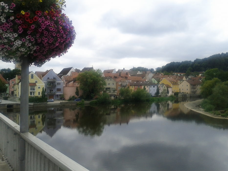
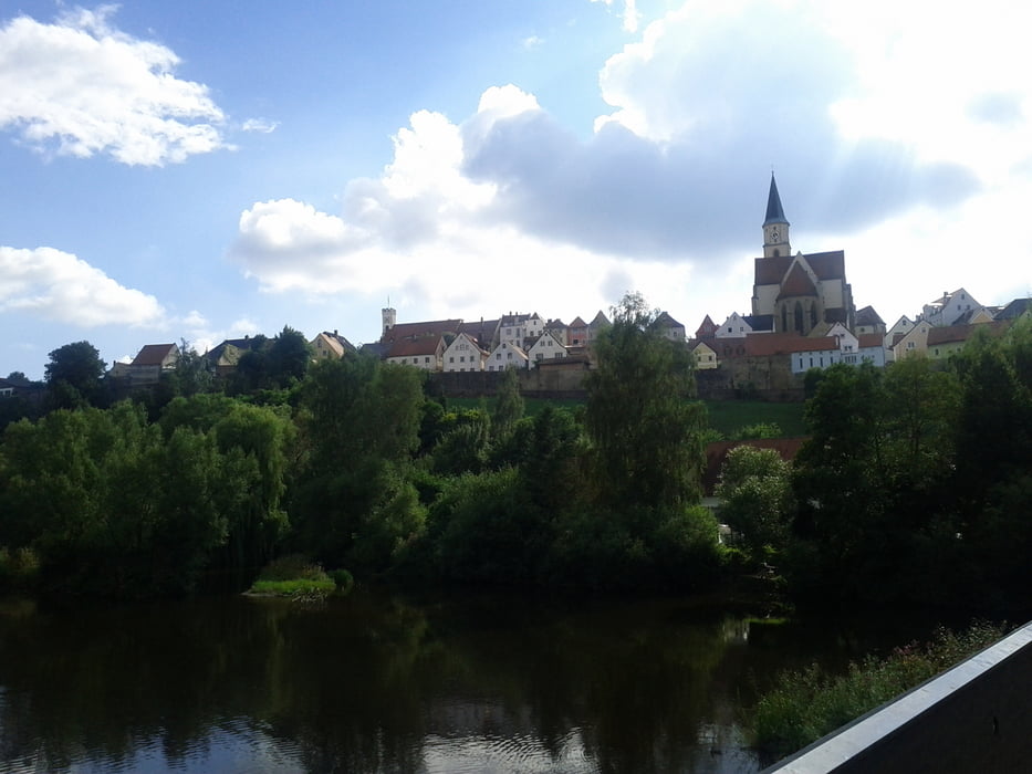
Tag 2 unser Tour von München nach Weisswasser.  Von Abensberg nach Pfreimd.

Grosse Teile auf dem Donau und Naabtal Radweg.  Auch für Trekkingräder geeingnet.

Verlauf:

Abensberg-> Regensburg -> Schwandorf -> Nabburg -> Pfreimd

Галерея маршрутов

Карта маршрута и высотный профиль

  • Open Street Map
  • Google
Minimum height 290 m Maximum height 384 m Детальный вид

More about the tour author

makemile
Member since 2008

Send private message

Комментарии

GPS-Tracks

Trackpoints
  • GPX / Garmin Map Source (gpx) download
  • TCX / Garmin Training Center® (tcx) download
  • CRS / Garmin Training Center® (crs) download
  • Google Earth (kml) download
  • G7ToWin (g7t) download
  • TTQV (trk) download
  • Overlay (ovl) download
  • Fugawi (txt) download
  • Kompass (DAV) Track (tk) download
  • Формуляр маршрута (pdf) download
  • Original file of the author (tcx) download

More about the tour author

makemile
Member since 2008

Send private message
Share track
Add to my favorites
Remove from my favorites
Edit tags
My score
Rate
Маршрут: München nach Weisswasser , Tag 2 Abensberg - Pfreimd
Вид: Горный велосипед
Длина: 126,0 km
Evaluated on:
Длительность:
Day(s)
Hour(s)
Minute(s)
Оценка: Ландшафт Веселье Кондиция Техника