Login

Забыл пароль?

Cookies have to be accepted!
Your browser's cookie functionality is disabled. Please enable this functionality.

Not a member yet?

Register now
Login

Available for registred users only

Log in to use this feature.

Забыл пароль?

Cookies have to be accepted!
Your browser's cookie functionality is disabled. Please enable this functionality.

Not a member yet?

Register now
Filter
Категории
Advanced filters
  • Длина (км)
  • Высотомер
Сохранить фильтр Reset filter

TrackRank

QRCode

Technical data

Длина106,9 km Высотомер1655 m Way down1354 m Длительность07:20 h:m Дата05.09.2011
Оценки Author Ландшафт Веселье Кондиция Техника

Статистика

215 Виды Оценки 8 Загрузки Среднее
Rate
  • Формуляр маршрута
  • Дорога
  • Загрузки

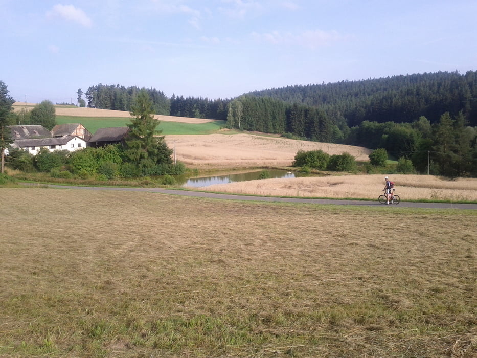
Tag 4 unser Tour von München nach Weisswasser. Heute Hohenberg an der Eger nach Johanngeorgenstadt

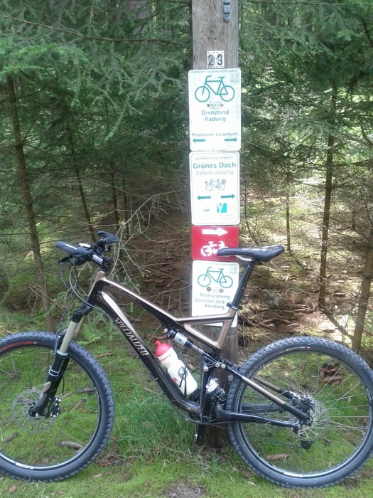
Tour über Grenzland und Grünes Dach Radweg


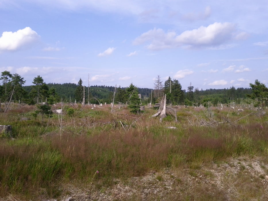
Hohenberg -> Selb -> Schöneck -> Carlsfeld -> Steinbach

Галерея маршрутов

Карта маршрута и высотный профиль

  • Open Street Map
  • Google
Minimum height 433 m Maximum height 959 m Детальный вид

More about the tour author

makemile
Member since 2008

Send private message

Комментарии

GPS-Tracks

Trackpoints
  • GPX / Garmin Map Source (gpx) download
  • TCX / Garmin Training Center® (tcx) download
  • CRS / Garmin Training Center® (crs) download
  • Google Earth (kml) download
  • G7ToWin (g7t) download
  • TTQV (trk) download
  • Overlay (ovl) download
  • Fugawi (txt) download
  • Kompass (DAV) Track (tk) download
  • Формуляр маршрута (pdf) download
  • Original file of the author (tcx) download

More about the tour author

makemile
Member since 2008

Send private message
Share track
Add to my favorites
Remove from my favorites
Edit tags
My score
Rate
Маршрут: München nach Weisswasser , Tag 4 Hohenberg an der Eger - Steinbach / Johanngeorgenstadt
Вид: Горный велосипед
Длина: 106,9 km
Evaluated on:
Длительность:
Day(s)
Hour(s)
Minute(s)
Оценка: Ландшафт Веселье Кондиция Техника