


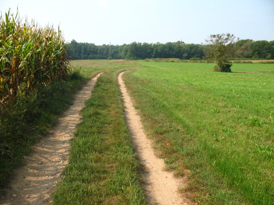
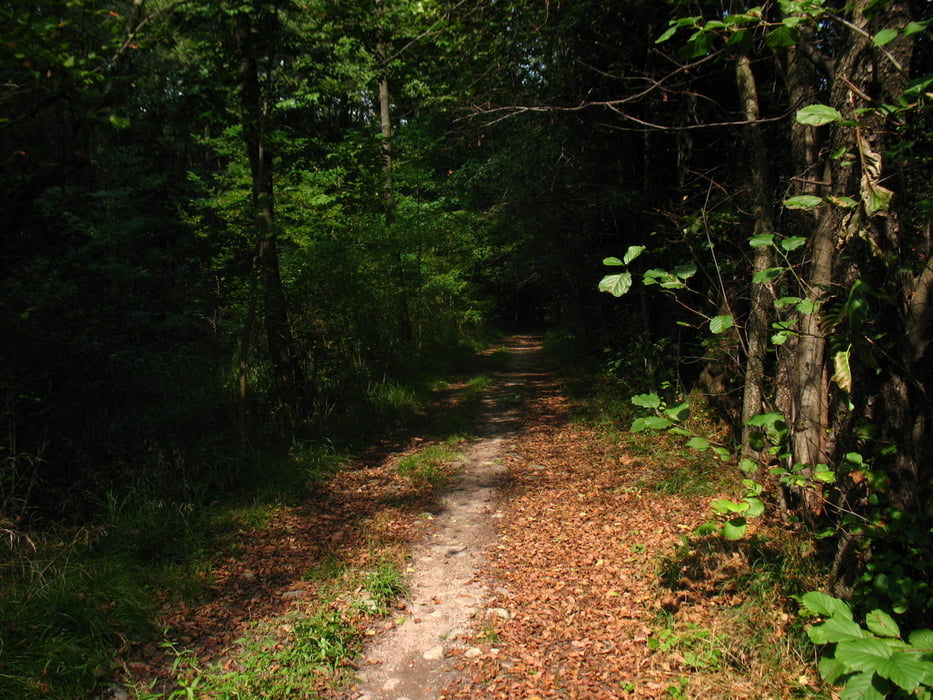
Percorso che si snoda lungo uno dei possibili itinerari della Granfondo, seguendo per la maggior parte i cartelli segnaletici permanenti; nella parte finale del giro la salita al colle di san Maffeo porta ad una ottima vista a 360° sia del comasco/varesotto che delle prealpi svizzere; Il percorso incrocia piu' volte la storica Ferrovia della Valmorea.
- partenza dal paese di Cagno (co) in zona di comodo parcheggio;
- girare in senso antiorario;
- pendenze salita: nella seconda parte del giro si segnalano 4 brevi salite con pendenze tra il 12 ed il 15%;
- caratteristiche discesa: discese veloci su fondo pulito (preferibilmente da effettuarsi con fondo asciutto;
- pedalabilità 100%;
- divertenti saliscendi;
- quota sterrato 90%;
- pendenza max salita 15,0%;
- pendenza max discesa 17,5%.
per approfondimenti storico-culturali http:\it.wikipedia.org/wiki/Ferrovia_della_Valmorea
Further information at
http://www.itinerari-mtb.itГалерея маршрутов


Карта маршрута и высотный профиль
Minimum height 331 m
Maximum height 505 m
More about the tour author
|
|
emmegi |
Комментарии

Cagno, seguire partenza traccia per comodo parcheggio
GPS-Tracks
Trackpoints-
GPX / Garmin Map Source (gpx) download
-
TCX / Garmin Training Center® (tcx) download
-
CRS / Garmin Training Center® (crs) download
-
Google Earth (kml) download
-
G7ToWin (g7t) download
-
TTQV (trk) download
-
Overlay (ovl) download
-
Fugawi (txt) download
-
Kompass (DAV) Track (tk) download
-
Формуляр маршрута (pdf) download
-
Original file of the author (gpx) download
More about the tour author
|
|
emmegi |
Add to my favorites
Remove from my favorites
Edit tags
Open track
My score
Rate