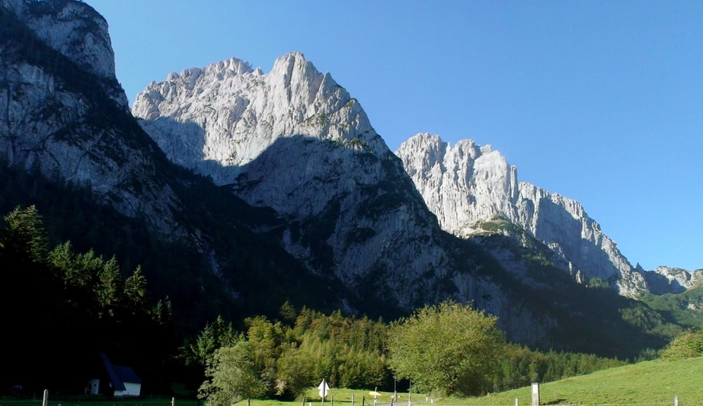
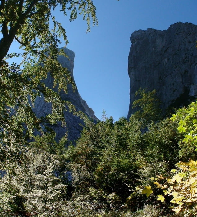
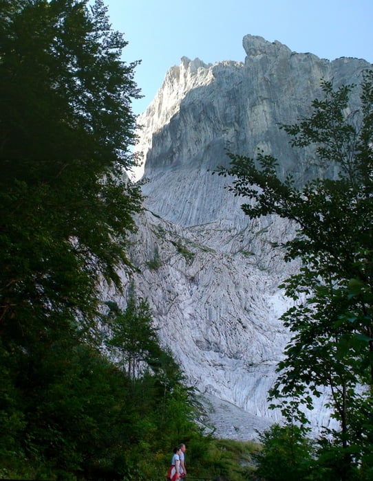
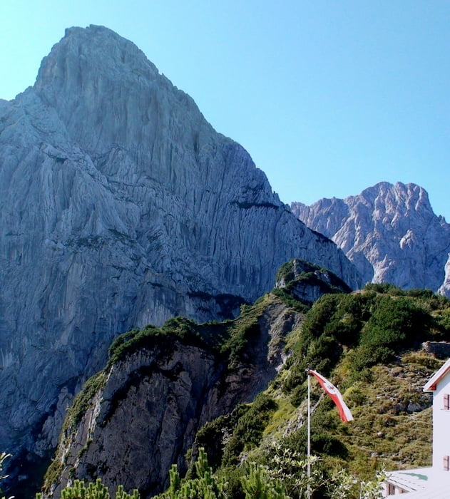
Vom Parkplatz zunächst auf Schotterweg aufwärts, dann durch Wald und aus dem Wald heraus zum Stripsenjoch, immer mit herrlichen Ausblicken auf Predigtstuhl, Fleischbank, Totenkirchl und zurück ins Kaiserbach- Tal.
Aufstieg: 1:40h
Auf gleichem Weg zurück: 1:05h
Галерея маршрутов
Карта маршрута и высотный профиль
Minimum height 992 m
Maximum height 1573 m
Комментарии

Google Earth: 47.580134° / 12.331540°
Von Kitzbühel kommend nach St. Johann, links ab nach Gasteig, Griesenau. Links ab ins Kaiserbachtal, auf Mautstraße zur Griesener Alm
GPS-Tracks
Trackpoints-
GPX / Garmin Map Source (gpx) download
-
TCX / Garmin Training Center® (tcx) download
-
CRS / Garmin Training Center® (crs) download
-
Google Earth (kml) download
-
G7ToWin (g7t) download
-
TTQV (trk) download
-
Overlay (ovl) download
-
Fugawi (txt) download
-
Kompass (DAV) Track (tk) download
-
Формуляр маршрута (pdf) download
-
Original file of the author (gpx) download
Add to my favorites
Remove from my favorites
Edit tags
Open track
My score
Rate


