Login

Забыл пароль?

Cookies have to be accepted!
Your browser's cookie functionality is disabled. Please enable this functionality.

Not a member yet?

Register now
Login

Available for registred users only

Log in to use this feature.

Забыл пароль?

Cookies have to be accepted!
Your browser's cookie functionality is disabled. Please enable this functionality.

Not a member yet?

Register now
Filter
Категории
Advanced filters
  • Длина (км)
  • Высотомер
Сохранить фильтр Reset filter

TrackRank

QRCode

Technical data

Длина8,7 km Высотомер850 m Way down782 m Длительность02:50 h:m Дата02.10.2011
Оценки Author User Ландшафт Веселье Кондиция Техника

Статистика

711 Виды 1 Оценка 100 Загрузки 3.00 Среднее
Rate
  • Формуляр маршрута
  • Дорога
  • Загрузки
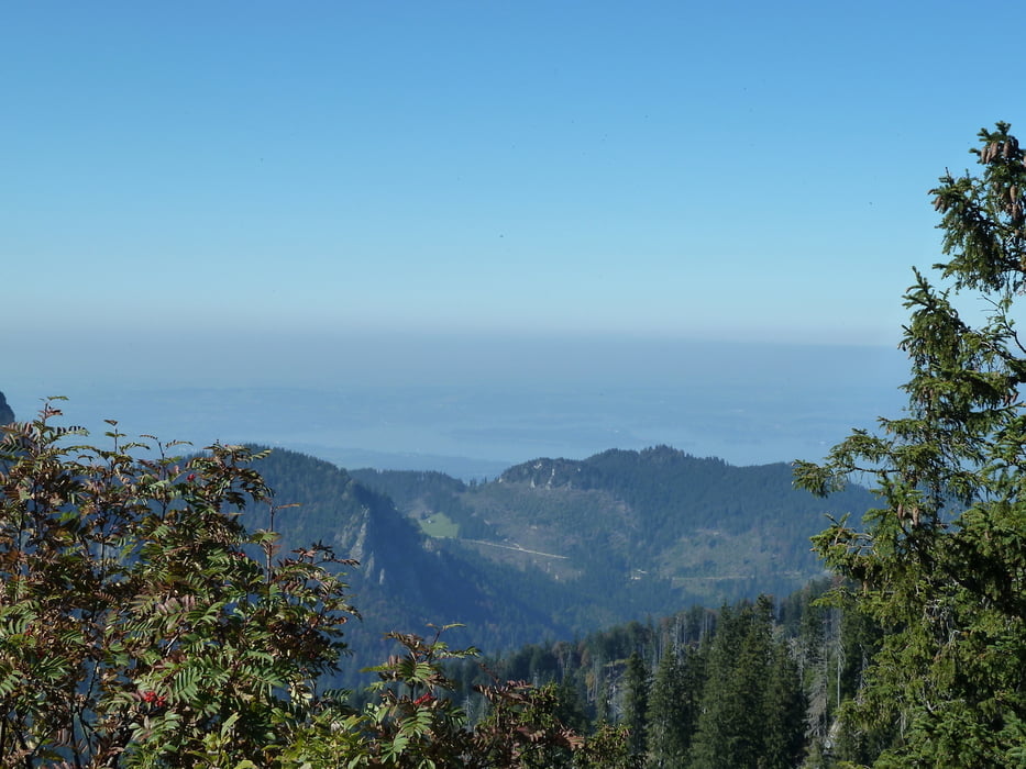
steiler Anstieg über eine wunderschöne Alm mit sagenhaftem Ausblick und super netten Wirtsleuten. Weiter steiler Anstieg 60-70% auf den Gipfel. Ein Traumblick, der alle Anstrengungen vergessen lässt.

Галерея маршрутов

Карта маршрута и высотный профиль

  • Open Street Map
  • Google
Minimum height 721 m Maximum height 1592 m Детальный вид

More about the tour author

heikes
Member since 2009

Send private message

Комментарии

von Lohen (Gästehaus Zeranka) über Ruhpolding nach Urschlau, dort wird geparkt.

GPS-Tracks

Trackpoints
  • GPX / Garmin Map Source (gpx) download
  • TCX / Garmin Training Center® (tcx) download
  • CRS / Garmin Training Center® (crs) download
  • Google Earth (kml) download
  • G7ToWin (g7t) download
  • TTQV (trk) download
  • Overlay (ovl) download
  • Fugawi (txt) download
  • Kompass (DAV) Track (tk) download
  • Формуляр маршрута (pdf) download
  • Original file of the author (gpx) download

More about the tour author

heikes
Member since 2009

Send private message
Share track
Add to my favorites
Remove from my favorites
Edit tags
My score
Rate
Маршрут: von Urschlau zum Haaralmschneid (1595m)
Вид: Пешеходный туризм
Длина: 8,7 km
Evaluated on:
Длительность:
Day(s)
Hour(s)
Minute(s)
Оценка: Ландшафт Веселье Кондиция Техника