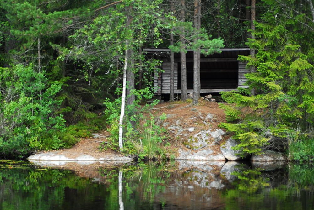
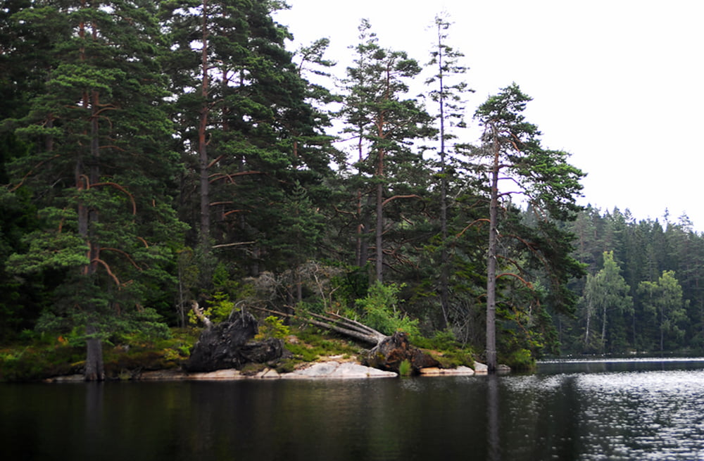
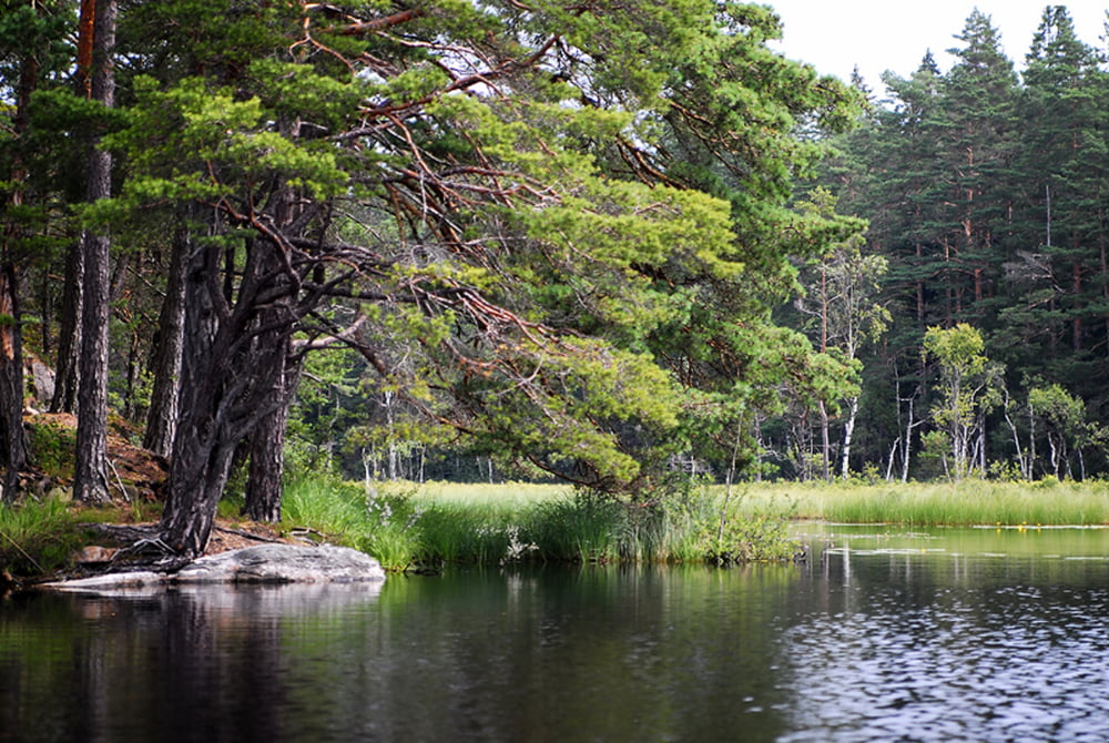
Eine typische Paddeltour über 3 zusammenhängende in wunderschöner Naturgelegene Seen. Durch die größtenteils windgeschützte Lage ist diese Tour auch für Canadier geeignet. Interessant sind hier die vielen kleinen und großen Inseln bzw. sogar mindestens eine Übernachtungsmöglichkeit in einem Windshelter . . .
Viel Spaß beim paddeln . . . Kay
Галерея маршрутов
Карта маршрута и высотный профиль
Minimum height 123 m
Maximum height 141 m
Комментарии

GPS-Tracks
Trackpoints-
GPX / Garmin Map Source (gpx) download
-
TCX / Garmin Training Center® (tcx) download
-
CRS / Garmin Training Center® (crs) download
-
Google Earth (kml) download
-
G7ToWin (g7t) download
-
TTQV (trk) download
-
Overlay (ovl) download
-
Fugawi (txt) download
-
Kompass (DAV) Track (tk) download
-
Формуляр маршрута (pdf) download
-
Original file of the author (gpx) download
Add to my favorites
Remove from my favorites
Edit tags
Open track
My score
Rate


