
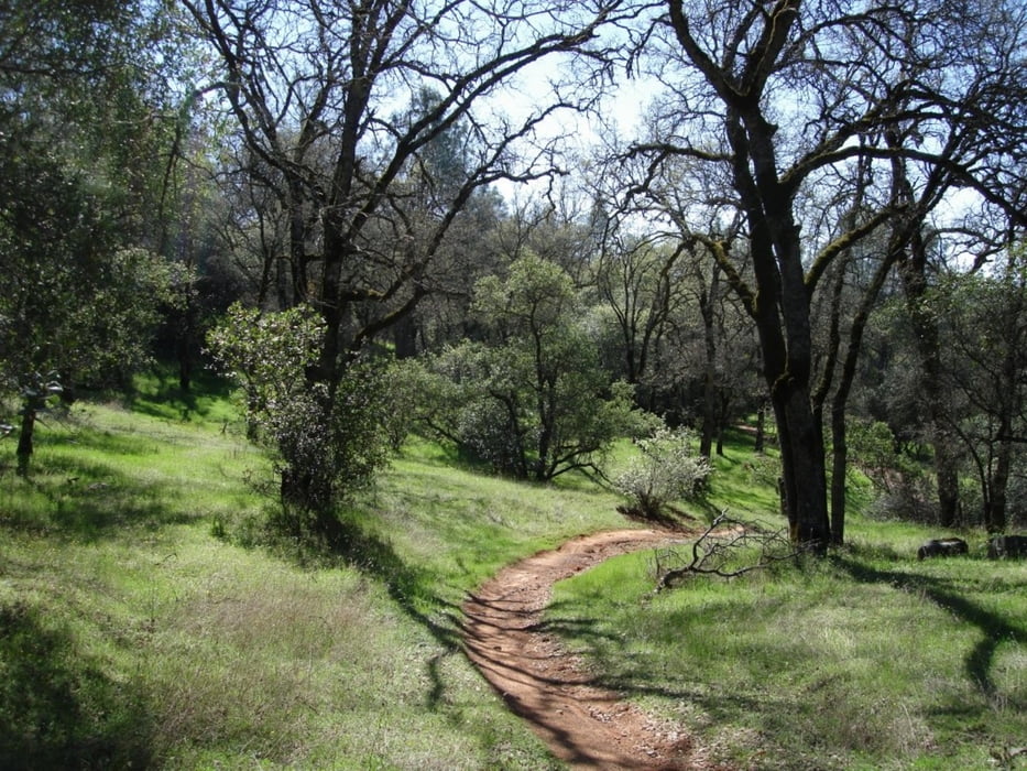

This loop combines multiple trails in the Auburn State Recreation Area. In order of the loop, the trails are: Clementine, Connector, the Foresthill Divide Loop, back on Connector, down Stonewall and finally, down Confluence trail. This ride is very challenging, starting with a three mile climb on Clementine, and opening in to the very fast and flowing Connector trail, up around the Divide Loop and back on Connector. From the end of the Connector trail, it's all down hill. The Stonewall trail starts just out of the dirt parking area, to the left of the Fuelbreak trail head and heads down, across Foresthill and Old Foresthill roads. On the other side of Old Foresthill Rd., the trail picks up on the other side of the guard rail. Drop down the steep incline and stay to the right, cross the paved road at the OHV entrance on to the Confluence trail, and flying all the way back to the car!
Карта маршрута и высотный профиль
Minimum height 164 m
Maximum height 586 m
More about the tour author

|
happyfloh |
Комментарии

Trail Head: Old Foresthill Rd. At the confluence.
GPS-Tracks
Trackpoints-
GPX / Garmin Map Source (gpx) download
-
TCX / Garmin Training Center® (tcx) download
-
CRS / Garmin Training Center® (crs) download
-
Google Earth (kml) download
-
G7ToWin (g7t) download
-
TTQV (trk) download
-
Overlay (ovl) download
-
Fugawi (txt) download
-
Kompass (DAV) Track (tk) download
-
Формуляр маршрута (pdf) download
-
Original file of the author (gpx) download
More about the tour author
|
|
happyfloh |
Add to my favorites
Remove from my favorites
Edit tags
Open track
My score
Rate