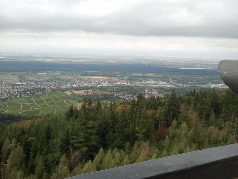
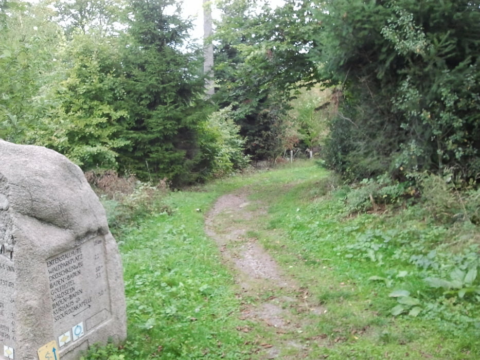
Галерея маршрутов
Карта маршрута и высотный профиль
Minimum height 2 m
Maximum height 588 m
Комментарии
GPS-Tracks
Trackpoints-
GPX / Garmin Map Source (gpx) download
-
TCX / Garmin Training Center® (tcx) download
-
CRS / Garmin Training Center® (crs) download
-
Google Earth (kml) download
-
G7ToWin (g7t) download
-
TTQV (trk) download
-
Overlay (ovl) download
-
Fugawi (txt) download
-
Kompass (DAV) Track (tk) download
-
Формуляр маршрута (pdf) download
-
Original file of the author (gpx) download
Add to my favorites
Remove from my favorites
Edit tags
Open track
My score
Rate


Höhenangabe
die Höhenangabe sind weit überhöht.
Du mußt bei Deinem Höhenmesser die Einstellungen überprüfen.
Welches Gerät besitzt Du denn ?
Gruß
James
Gruß
Sebastian