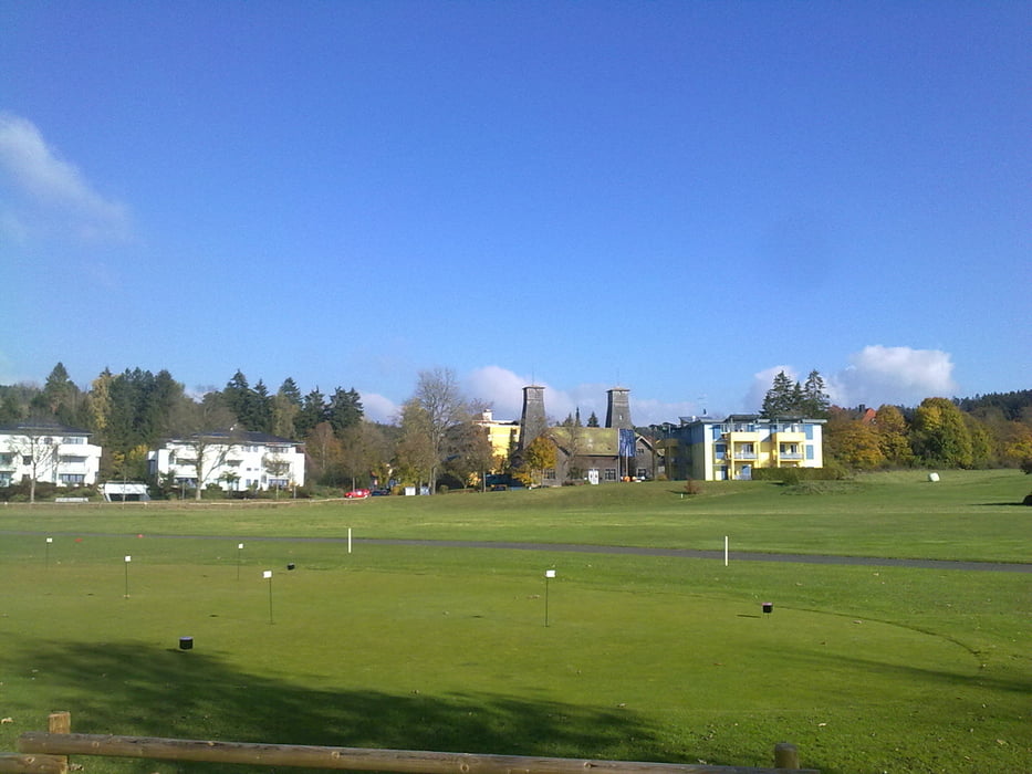
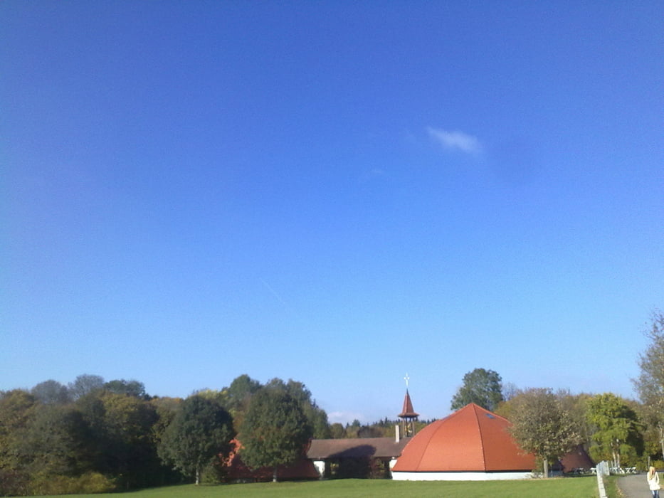
Biketour rund um Bad Dürrheim.
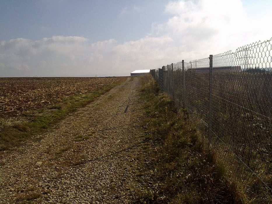
Die Tour enthält vom Trail bis zur Teerstrasse alles.
Allerdings ist der Trailanteil relativ gering.
Die Tour führt auch in´s Brigachtal.
Es gibt Leute, die sagen:
"Brigachtal - optimal"
Ich persönlich finde Bad Dürrheim schöner. :-)
Viel Spaß
Further information at
http://tourismus.badduerrheim.de/startseite.htmlГалерея маршрутов
Карта маршрута и высотный профиль
Minimum height 676 m
Maximum height 828 m
Комментарии
Gestartet wird in Bad Dürrheim beim Narrenschop.
Dort kann man 2 Stunden kostenlos parken.
Wem das zu wenig ist, der parkt am besten auf dem Großraumparkplatz; beim Rathaus.
GPS-Tracks
Trackpoints-
GPX / Garmin Map Source (gpx) download
-
TCX / Garmin Training Center® (tcx) download
-
CRS / Garmin Training Center® (crs) download
-
Google Earth (kml) download
-
G7ToWin (g7t) download
-
TTQV (trk) download
-
Overlay (ovl) download
-
Fugawi (txt) download
-
Kompass (DAV) Track (tk) download
-
Формуляр маршрута (pdf) download
-
Original file of the author (gpx) download
Add to my favorites
Remove from my favorites
Edit tags
Open track
My score
Rate


Tour um Bad Dürrheim