Login

Забыл пароль?

Cookies have to be accepted!
Your browser's cookie functionality is disabled. Please enable this functionality.

Not a member yet?

Register now
Login

Available for registred users only

Log in to use this feature.

Забыл пароль?

Cookies have to be accepted!
Your browser's cookie functionality is disabled. Please enable this functionality.

Not a member yet?

Register now
Filter
Категории
Advanced filters
  • Длина (км)
  • Высотомер
Сохранить фильтр Reset filter

TrackRank

QRCode

Technical data

Длина38,5 km Высотомер429 m Way down375 m Длительность00:00 h:m Дата29.10.2011
Оценки Author Ландшафт Веселье Кондиция Техника

Статистика

1279 Виды 1 Оценка 40 Загрузки 5.00 Среднее
Rate
  • Формуляр маршрута
  • Дорога
  • Загрузки
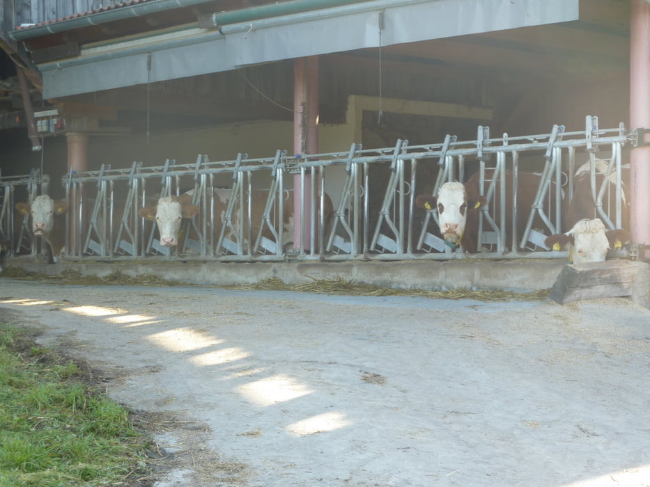
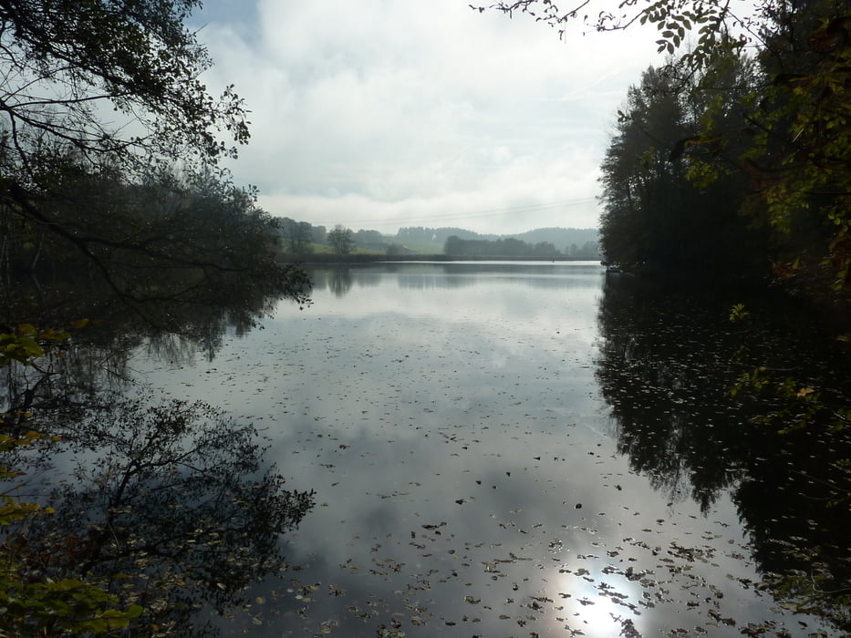
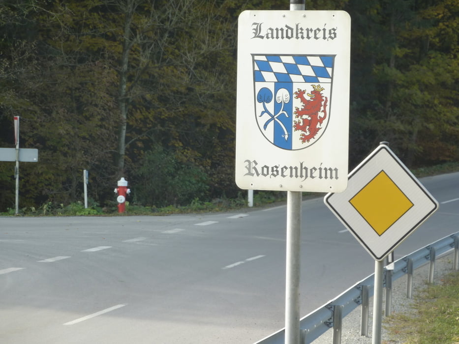
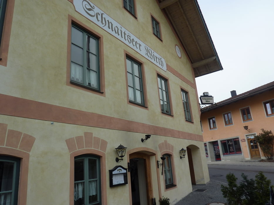
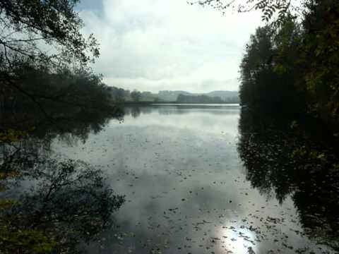
 Von der idyllisch an der Innschleife gelegenen Stadt Wasserburg a.Inn führt der Weg über Schnaitsee durch bäuerliches Hinterland und erreicht in Trostberg das Tal der Alz.

Галерея маршрутов

Карта маршрута и высотный профиль

  • Open Street Map
  • Google
Minimum height 431 m Maximum height 597 m Детальный вид

More about the tour author

rail-com

Комментарии

Bahn über München und Grafing nach Wasserburg am Inn

GPS-Tracks

Trackpoints
  • GPX / Garmin Map Source (gpx) download
  • TCX / Garmin Training Center® (tcx) download
  • CRS / Garmin Training Center® (crs) download
  • Google Earth (kml) download
  • G7ToWin (g7t) download
  • TTQV (trk) download
  • Overlay (ovl) download
  • Fugawi (txt) download
  • Kompass (DAV) Track (tk) download
  • Формуляр маршрута (pdf) download
  • Original file of the author (gpx) download

More about the tour author

rail-com

Share track
Add to my favorites
Remove from my favorites
Edit tags
My score
Rate
Маршрут: Bayernnetz für Radler: Alz-Inn-Radweg
Вид: Велосипедные маршруты
Длина: 38,5 km
Evaluated on:
Длительность:
Day(s)
Hour(s)
Minute(s)
Оценка: Ландшафт Веселье Кондиция Техника