Login

Забыл пароль?

Cookies have to be accepted!
Your browser's cookie functionality is disabled. Please enable this functionality.

Not a member yet?

Register now
Login

Available for registred users only

Log in to use this feature.

Забыл пароль?

Cookies have to be accepted!
Your browser's cookie functionality is disabled. Please enable this functionality.

Not a member yet?

Register now
Filter
Категории
Advanced filters
  • Длина (км)
  • Высотомер
Сохранить фильтр Reset filter

TrackRank

QRCode

Technical data

Длина42,0 km Высотомер786 m Way down782 m Длительность00:00 h:m Дата01.11.2011
Оценки Author Ландшафт Веселье Кондиция Техника

Статистика

297 Виды Оценки 41 Загрузки Среднее
Rate
  • Формуляр маршрута
  • Дорога
  • Загрузки

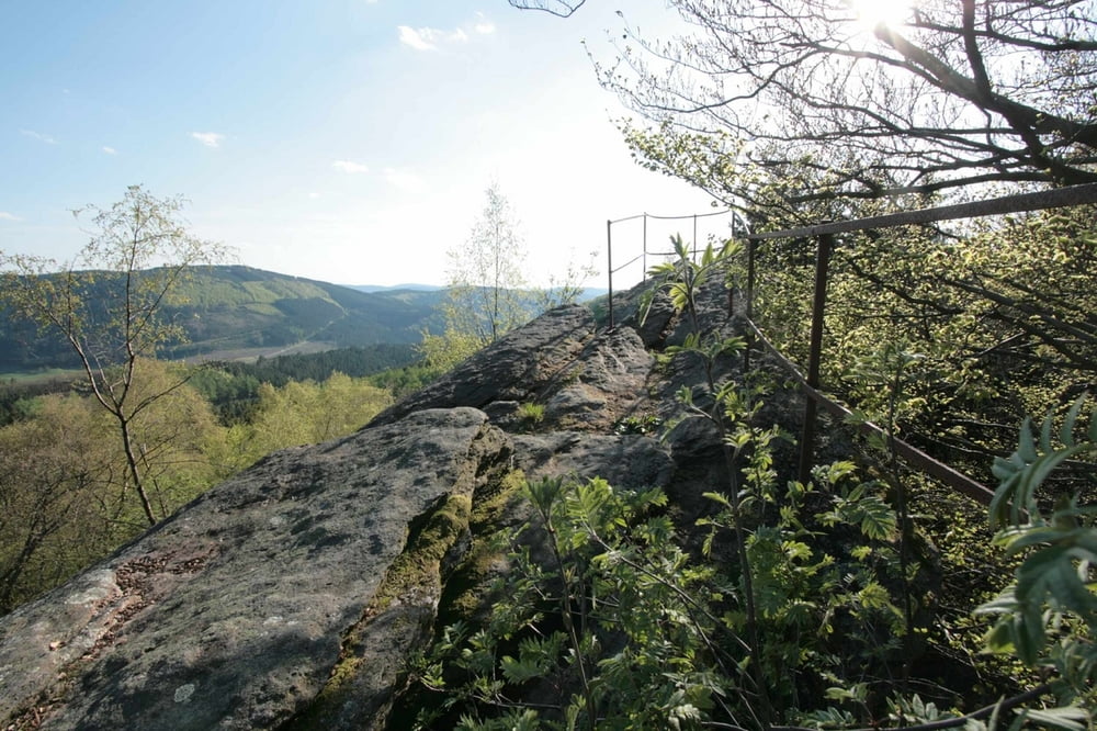
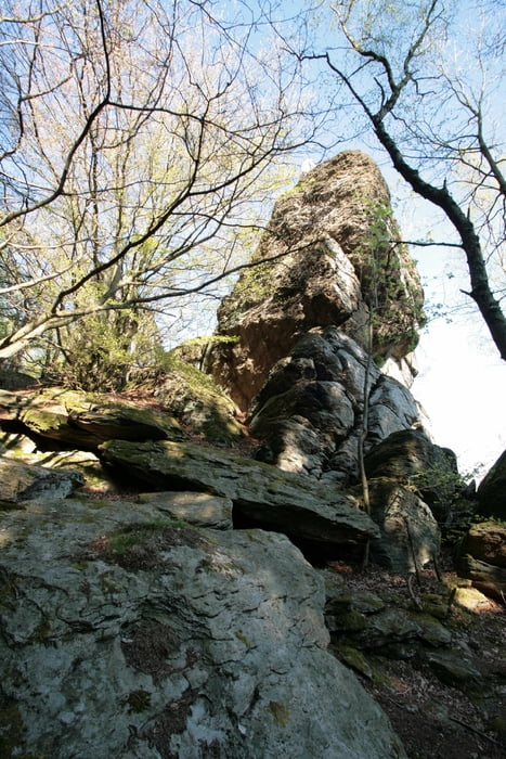
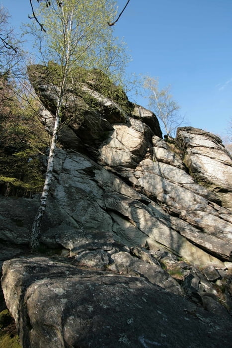
Empfehlenswerte Tour an einem klaren sonnigen Tag. Dann auch unbedingt auf

den Rinsleyfelsen klettern und die traumhafte Aussicht genießen!!! (der Boden

sollte trocken sein, sonst wird´s zu rutschig auf dem Felsen)

Further information at

http://de.wikipedia.org/wiki/Rinsleyfelsen

Галерея маршрутов

Карта маршрута и высотный профиль

  • Open Street Map
  • Google
Minimum height 254 m Maximum height 663 m Детальный вид

More about the tour author

stageblack
Member since 2011

Send private message

Комментарии

GPS-Tracks

Trackpoints
  • GPX / Garmin Map Source (gpx) download
  • TCX / Garmin Training Center® (tcx) download
  • CRS / Garmin Training Center® (crs) download
  • Google Earth (kml) download
  • G7ToWin (g7t) download
  • TTQV (trk) download
  • Overlay (ovl) download
  • Fugawi (txt) download
  • Kompass (DAV) Track (tk) download
  • Формуляр маршрута (pdf) download
  • Original file of the author (gpx) download

More about the tour author

stageblack
Member since 2011

Send private message
Share track
Add to my favorites
Remove from my favorites
Edit tags
My score
Rate
Маршрут: von Elspe zum Rinsleyfelsen
Вид: Горный велосипед
Длина: 42,0 km
Evaluated on:
Длительность:
Day(s)
Hour(s)
Minute(s)
Оценка: Ландшафт Веселье Кондиция Техника