
")

Die Strecke führt von Wendelstein - Röthenbach b. St. Wolfgang über den alten Kanal bis Schleuse 52 nach Dürrenhembach – Oberhembach – Neuhof – Allersberg – Göggelsbuch – Rothsee – Eichelburg – Brunnau – Harlach – Furth zurück über Wendelstein nach Röthenbach b. St. Wolfgang.
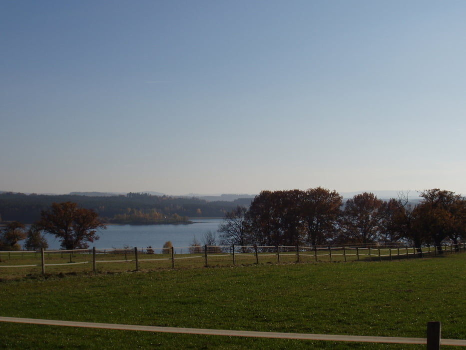
Die Tour führt fast nur auf Waldwegen zum Rothsee und wieder zurück. Sie ist landschaftlich sehr schön und nicht anspruchsvoll, 2 kleine Ausnahmen einmal kurz nach Nerreth und das 2. Mal ca. 1 km hinter Eichelburg.
Галерея маршрутов


Карта маршрута и высотный профиль
Minimum height 318 m
Maximum height 441 m
More about the tour author
|
|
Shaolin |
Комментарии

Start ist in 90530 Wendelstein Ortsteil Röthenbach b. St. Wolfgang in der Feuchter Straße beim Feuerwehrhof
GPS-Tracks
Trackpoints-
GPX / Garmin Map Source (gpx) download
-
TCX / Garmin Training Center® (tcx) download
-
CRS / Garmin Training Center® (crs) download
-
Google Earth (kml) download
-
G7ToWin (g7t) download
-
TTQV (trk) download
-
Overlay (ovl) download
-
Fugawi (txt) download
-
Kompass (DAV) Track (tk) download
-
Формуляр маршрута (pdf) download
-
Original file of the author (gpx) download
More about the tour author
|
|
Shaolin |
Add to my favorites
Remove from my favorites
Edit tags
Open track
My score
Rate