Login

Забыл пароль?

Cookies have to be accepted!
Your browser's cookie functionality is disabled. Please enable this functionality.

Not a member yet?

Register now
Login

Available for registred users only

Log in to use this feature.

Забыл пароль?

Cookies have to be accepted!
Your browser's cookie functionality is disabled. Please enable this functionality.

Not a member yet?

Register now
Filter
Категории
Advanced filters
  • Длина (км)
  • Высотомер
Сохранить фильтр Reset filter

TrackRank

QRCode

Technical data

Длина79,9 km Высотомер1152 m Way down1152 m Длительность04:09 h:m Дата09.11.2011
Оценки Author Ландшафт Веселье Кондиция Техника

Статистика

250 Виды Оценки 24 Загрузки Среднее
Rate
  • Формуляр маршрута
  • Дорога
  • Загрузки
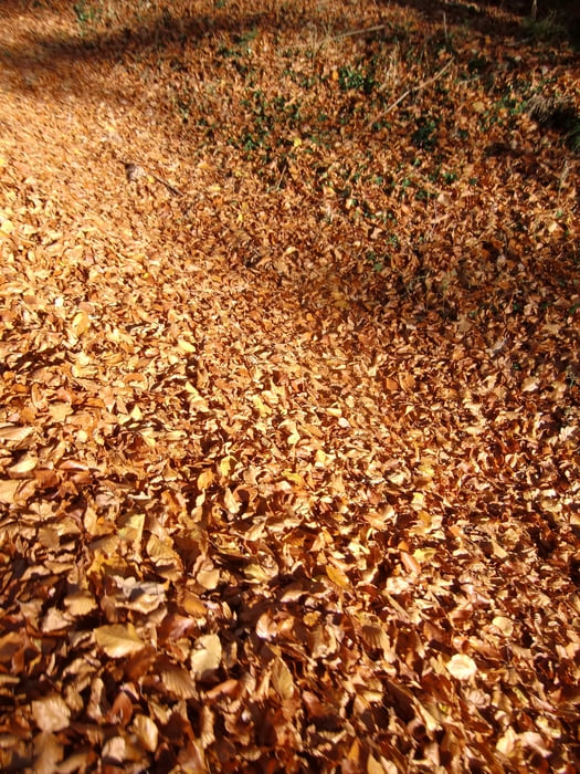
Die Tour bginnt in Deutschlandsberg-Wildbach-Gams-St.Stefan-Hofererberg-Stögersbach-St.Johann-Söding-Mooskirchen-Lannach-St.Josef-Gragererberg-Lasselsdorf-Frauental-Deutschlandsberg.Der Untergrund durchgehend Asphalt.Auch für Rennrad geeignet.Ein schöne Herbsttour.

Карта маршрута и высотный профиль

  • Open Street Map
  • Google
Minimum height 304 m Maximum height 620 m Детальный вид

More about the tour author

plazo100
Member since 2009

Send private message

Комментарии

GPS-Tracks

Trackpoints
  • GPX / Garmin Map Source (gpx) download
  • TCX / Garmin Training Center® (tcx) download
  • CRS / Garmin Training Center® (crs) download
  • Google Earth (kml) download
  • G7ToWin (g7t) download
  • TTQV (trk) download
  • Overlay (ovl) download
  • Fugawi (txt) download
  • Kompass (DAV) Track (tk) download
  • Формуляр маршрута (pdf) download
  • Original file of the author (gpx) download

More about the tour author

plazo100
Member since 2009

Send private message
Share track
Add to my favorites
Remove from my favorites
Edit tags
My score
Rate
Маршрут: Herbst-Winter Trainingsrunde DL-VO
Вид: Горный велосипед
Длина: 79,9 km
Evaluated on:
Длительность:
Day(s)
Hour(s)
Minute(s)
Оценка: Ландшафт Веселье Кондиция Техника