


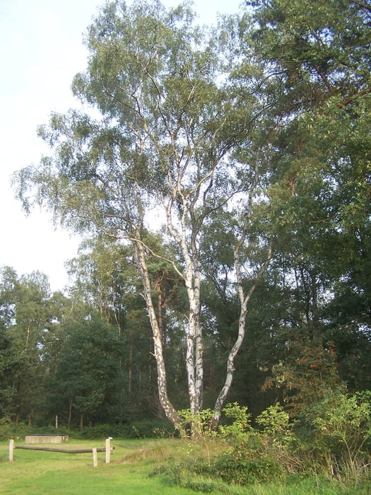
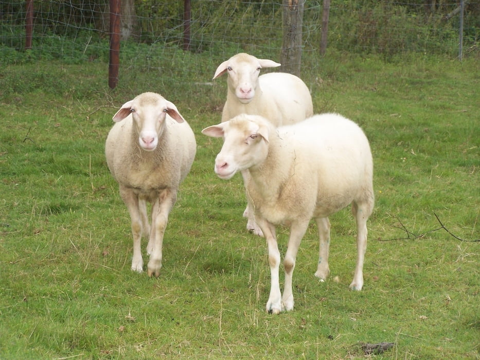
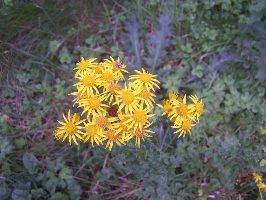
Dies war eine kleine Feierabendrunde zum ausspannen.
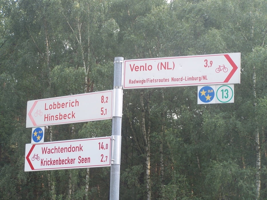
Ich parkte das Auto auf einem Parkplatz mit angeschlossenem Gedenkstein. Hier waren militärische Luftbasen die jetzt aber deaktiviert sind. In dem ganzen Gelände kann wunderschön herumgewandert werden. Auf alpini Schwirigkeiten wird man nicht treffen.
Die ganze Landschaft verströmt, besonders jetzt im Spätsommer, eine träge Ruhe.
Ich kann nur empfehlen hier einmal die Seele baumeln zu lassen.
Further information at
https://secure.wikimedia.org/wikipedia/de/wiki/NettetalГалерея маршрутов
Карта маршрута и высотный профиль
Minimum height 30 m
Maximum height 51 m
More about the tour author
|
|
Pheinz |
Комментарии

GPS-Tracks
Trackpoints-
GPX / Garmin Map Source (gpx) download
-
TCX / Garmin Training Center® (tcx) download
-
CRS / Garmin Training Center® (crs) download
-
Google Earth (kml) download
-
G7ToWin (g7t) download
-
TTQV (trk) download
-
Overlay (ovl) download
-
Fugawi (txt) download
-
Kompass (DAV) Track (tk) download
-
Формуляр маршрута (pdf) download
-
Original file of the author (gpx) download
More about the tour author
|
|
Pheinz |
Add to my favorites
Remove from my favorites
Edit tags
Open track
My score
Rate