


Wegverlauf: Playa Quemada - Playa del Pozo - Valle del Higueral - Degollada del Portugués - Hacha Grande - Valle de los Dises - Playa del Pozo - Playa Quemada
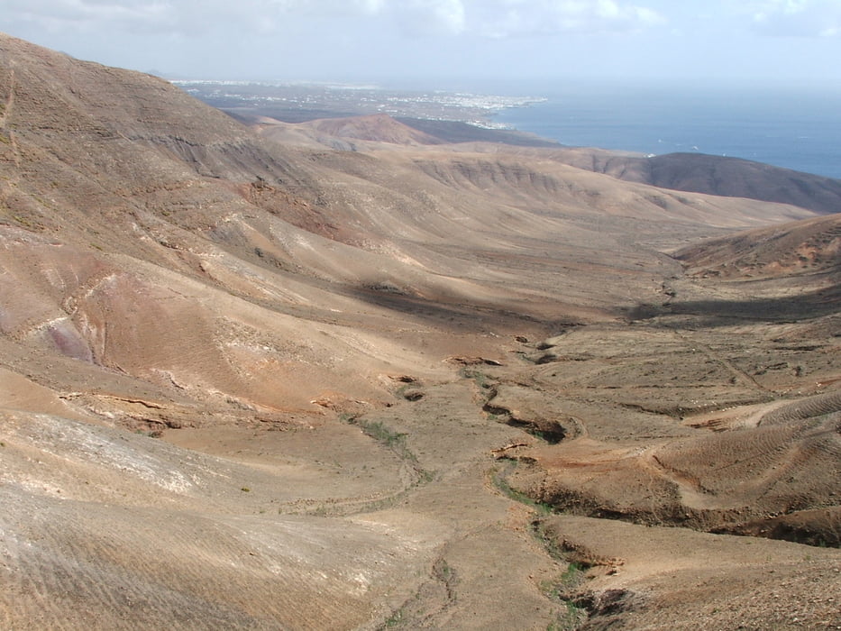
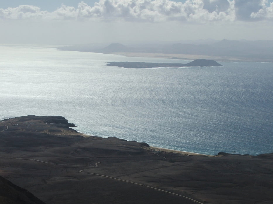
Schöne Ausblicke auf den Westen der Insel und nach Fuerteventura
Wenn man südlich der Degollada del Portugués (an der Stelle, die das vierte Foto zeigt) auf den Aufstieg nach Hacha Grande verzichtet und auf dem Fahrweg bleibt, erreicht man wenig später wieder den Track und spart 236 Höhenmeter.
Галерея маршрутов


Карта маршрута и высотный профиль
Minimum height 18 m
Maximum height 581 m
More about the tour author
|
|
lothardomnik |
Комментарии

Keine Busverbindung, nur mit Taxi oder Mietwagen erreichbar.
GPS-Tracks
Trackpoints-
GPX / Garmin Map Source (gpx) download
-
TCX / Garmin Training Center® (tcx) download
-
CRS / Garmin Training Center® (crs) download
-
Google Earth (kml) download
-
G7ToWin (g7t) download
-
TTQV (trk) download
-
Overlay (ovl) download
-
Fugawi (txt) download
-
Kompass (DAV) Track (tk) download
-
Формуляр маршрута (pdf) download
-
Original file of the author (gpx) download
More about the tour author
|
|
lothardomnik |
Add to my favorites
Remove from my favorites
Edit tags
Open track
My score
Rate