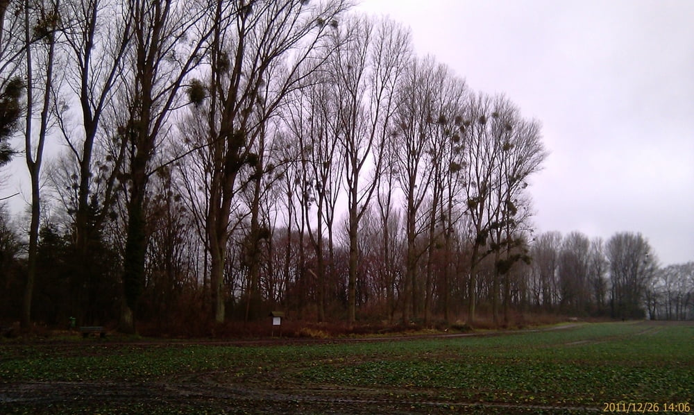
Der Track sollte eigentlich die Route 08 aus dem Wanderführer "25 Wanderungen rund um Düsseldorf" werden. Aufgrund des hohen Rheinstandes mussten wir den Weg aber teilweise auf begehbare Abschnitte verlegen und deshalb auch ein bisschen kürzen. Lustig war es aber wegen der teilweise sehr matschigen Wiesen und Wege trotzdem.
Галерея маршрутов
Карта маршрута и высотный профиль
Minimum height 17 m
Maximum height 33 m
Комментарии

GPS-Tracks
Trackpoints-
GPX / Garmin Map Source (gpx) download
-
TCX / Garmin Training Center® (tcx) download
-
CRS / Garmin Training Center® (crs) download
-
Google Earth (kml) download
-
G7ToWin (g7t) download
-
TTQV (trk) download
-
Overlay (ovl) download
-
Fugawi (txt) download
-
Kompass (DAV) Track (tk) download
-
Формуляр маршрута (pdf) download
-
Original file of the author (gpx) download
Add to my favorites
Remove from my favorites
Edit tags
Open track
My score
Rate


